Transport Functions
Multimodal
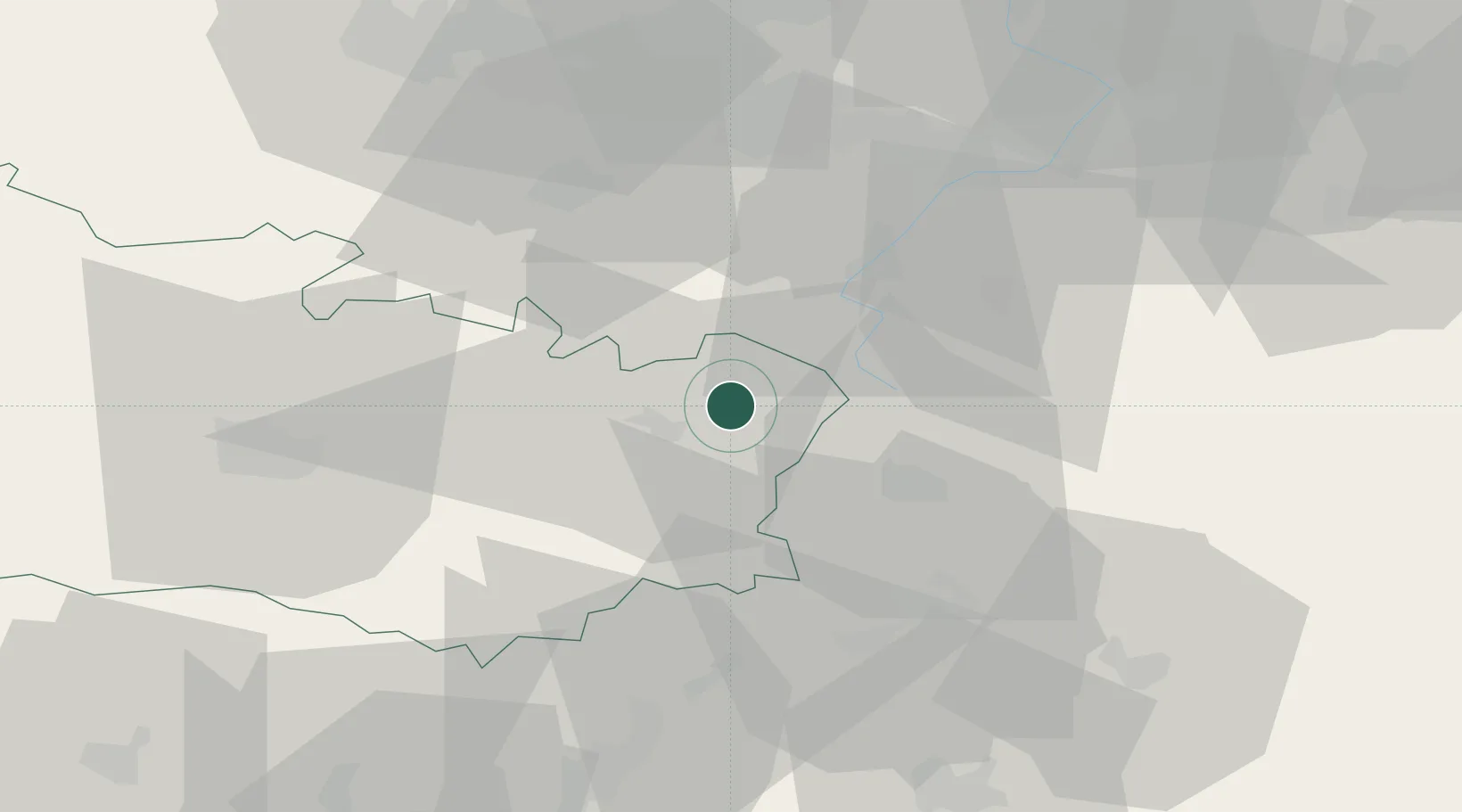
Hub Profile
Place type
Populated place
Region
Hauts-de-France
Population
158
Time zone
Europe/Paris
Elevation
91 m
Location
Nearby Logistics Neighbours
Cities
- 1Moislains4 km
- 2Villers-Faucon6 km
- 3Roisel6 km
- 4Rancourt8 km
- 5Biaches9 km
Ports
- 1Saint-Valery-Sur-Somme103 km
- 2Le Treport118 km
- 3Dunkerque Port Est131 km
- 4Nieuwpoort131 km
- 5Gravelines131 km
Airports
- 1Péronne Saint-Quentin Airfield11 km
- 2Amiens Glisy Airfield46 km
- 3Valenciennes-Denain Airfield51 km
- 4Lille Airport67 km
- 5Merville-Calonne Airport77 km
DatabookThe Record of Consolidated Knowledge
France beyond logistics?