Transport Functions
Road
Multimodal
Hub Profile
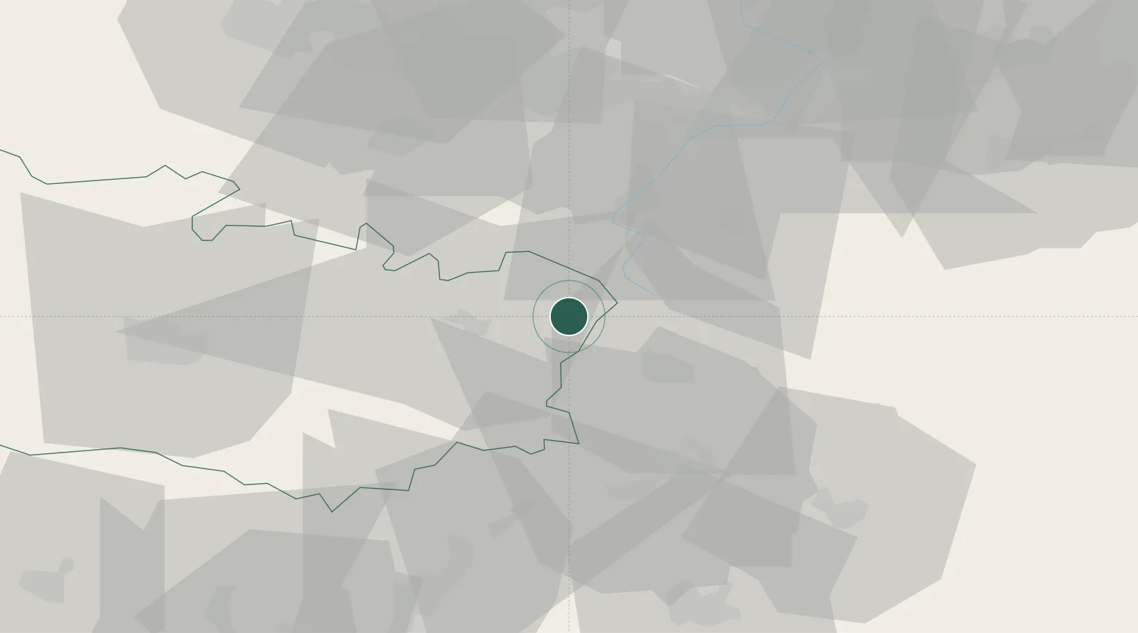
Place type
Populated place
Region
Hauts-de-France
Population
2,022
Time zone
Europe/Paris
Elevation
84 m
Location
Nearby Logistics Neighbours
Cities
- 1Villers-Faucon4 km
- 2Templeux-la-Fosse6 km
- 3Vermand10 km
- 4Moislains10 km
- 5Gouzeaucourt11 km
Ports
- 1Saint-Valery-Sur-Somme109 km
- 2Le Treport125 km
- 3Ghent132 km
- 4Nieuwpoort134 km
- 5Dunkerque Port Est135 km
Airports
- 1Péronne Saint-Quentin Airfield10 km
- 2Valenciennes-Denain Airfield49 km
- 3Amiens Glisy Airfield52 km
- 4Lille Airport69 km
- 5Merville-Calonne Airport81 km
Trade Zones
DatabookThe Record of Consolidated Knowledge
France beyond logistics?