Transport Functions
Rail
Road
Hub Profile
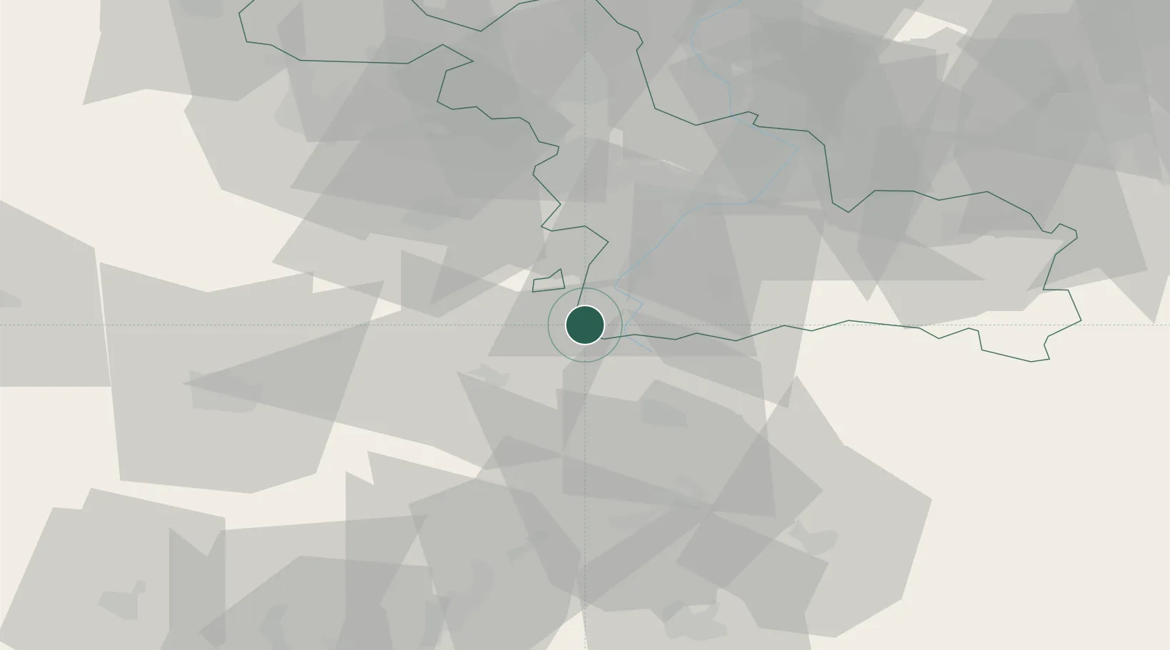
Place type
Populated place
Region
Hauts-de-France
Population
1,284
Time zone
Europe/Paris
Elevation
123 m
Location
Nearby Logistics Neighbours
Cities
- 1Bantouzelle6 km
- 2Villers-Faucon8 km
- 3Évin-Malmaison9 km
- 4Roisel11 km
- 5Rumilly-en-Cambrésis12 km
Ports
- 1Saint-Valery-Sur-Somme108 km
- 2Ghent121 km
- 3Nieuwpoort123 km
- 4Le Treport125 km
- 5Dunkerque Port Est125 km
Airports
- 1Péronne Saint-Quentin Airfield21 km
- 2Valenciennes-Denain Airfield39 km
- 3Amiens Glisy Airfield56 km
- 4Lille Airport57 km
- 5Merville-Calonne Airport72 km
Trade Zones
DatabookThe Record of Consolidated Knowledge
France beyond logistics?