Transport Functions
Port
Road
Hub Profile
Place type
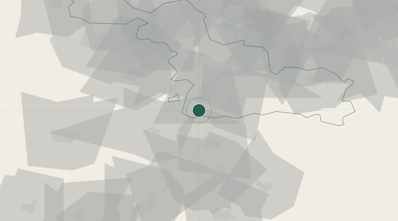
Populated place
Region
Hauts-de-France
Population
399
Time zone
Europe/Paris
Elevation
89 m
Location
Nearby Logistics Neighbours
Cities
- 1Gouzeaucourt6 km
- 2Rumilly-en-Cambrésis8 km
- 3Niergnies10 km
- 4Fontaine-Notre-Dame11 km
- 5Villers-Faucon12 km
Ports
- 1Saint-Valery-Sur-Somme114 km
- 2Ghent117 km
- 3Bruxelles121 km
- 4Nieuwpoort123 km
- 5Dunkerque Port Est126 km
Airports
- 1Péronne Saint-Quentin Airfield25 km
- 2Valenciennes-Denain Airfield35 km
- 3Lille Airport56 km
- 4Amiens Glisy Airfield62 km
- 5Chièvres Air Base72 km
Trade Zones
DatabookThe Record of Consolidated Knowledge
France beyond logistics?