UN/LOCODE hub · France
FRDM3

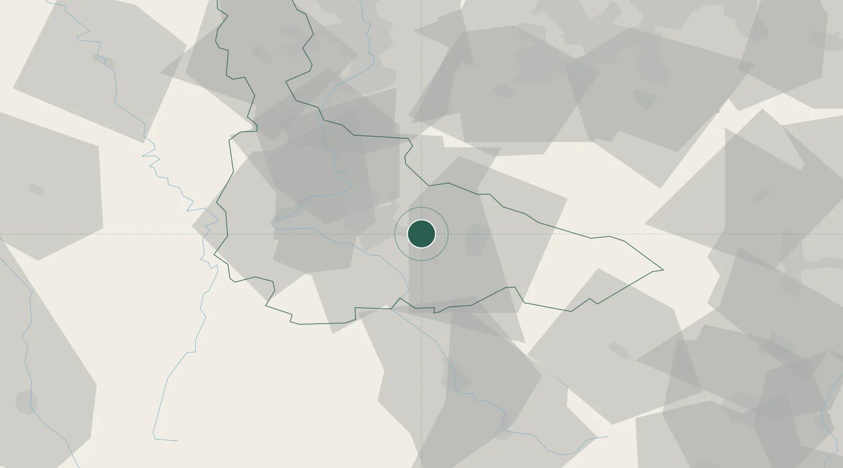
Dombasle-sur-Meurthe

48.6333°, 6.3500°
9,256
Population
1
Transport functions

Transport Functions

Multimodal
UN/LOCODE

Hub Profile

Place type
Populated place
GeoNames
Region
Grand Est
GeoNames
Population
9,256
GeoNames
Time zone
Europe/Paris
GeoNames
Elevation
213 m
GeoNames

Location

Location of FRDM3
Natural Earth 10m (public domain) · Grand Est · FRDM3 · 48.63, 6.35GoogleOSMYandex

Nearby Logistics Neighbours

Cities
  1. 1Varangéville2 km
  2. 2Saint-Nicolas-de-Port4 km
  3. 3Rosières-aux-Salines4 km
  4. 4Blainville-sur-l'Eau10 km
  5. 5Heillecourt11 km
Nearest neighbours — logibook spatial index (haversine) over the source coordinates
Ports
  1. 1Bruxelles287 km
  2. 2Antwerpen319 km
  3. 3Ghent329 km
  4. 4Terneuzen352 km
  5. 5Hansweert355 km
Nearest neighbours — logibook spatial index (haversine) over the source coordinates
Airports
  1. 1Nancy-Essey Airport11 km
  2. 2Nancy-Ochey (BA 133) Air Base30 km
  3. 3Metz-Nancy-Lorraine Airport39 km
  4. 4Épinal Mirecourt Airport40 km
  5. 5Phalsbourg-Bourscheid Air Base64 km
Nearest neighbours — logibook spatial index (haversine) over the source coordinates
Trade Zones
  1. 1ZFU Maxéville, Laxou, et de Nancy16 km
  2. 2ZFU Metz54 km
  3. 3ZFU Woippy-Metz59 km
  4. 4ZFU La Cité Behren-lès-Forbach73 km
  5. 5ZFU Hautepierre99 km
Nearest neighbours — logibook spatial index (haversine) over the source coordinates
DatabookThe Record of Consolidated Knowledge
France beyond logistics?
Browse databook

All Sources

LocationsUN/LOCODE
UN/LOCODE — free
LocationsGeoNames
CC BY 4.0
Portsthe NGA World Port Index
Public domain (US gov)
AirportsOurAirports
Public domain
Trade Zonesthe World Bank SEZ database
CC BY 4.0
Trade ZonesOpen Zone Map
CC BY
← France locations