Transport Functions
Rail
Road
Hub Profile
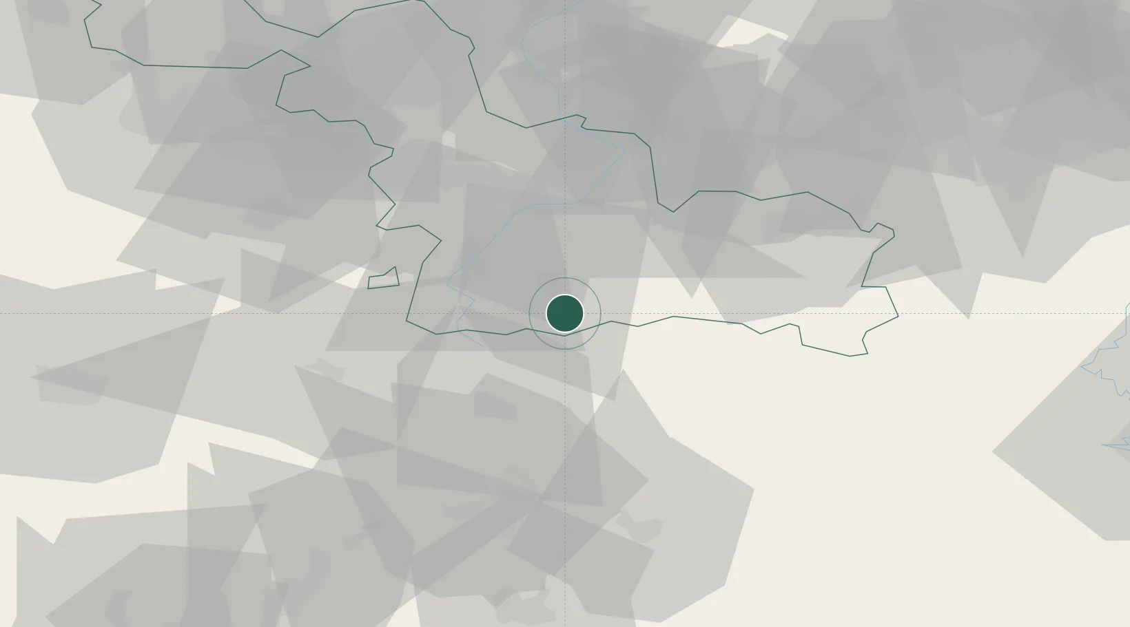
Place type
Populated place
Region
Hauts-de-France
Population
455
Time zone
Europe/Paris
Elevation
129 m
Location
Nearby Logistics Neighbours
Cities
- 1Bohain-en-Vermandois9 km
- 2Beauvois-en-Cambrésis10 km
- 3Niergnies17 km
- 4Vadencourt17 km
- 5Bantouzelle18 km
Ports
- 1Bruxelles109 km
- 2Ghent113 km
- 3Nieuwpoort129 km
- 4Bruges131 km
- 5Saint-Valery-Sur-Somme131 km
Airports
- 1Valenciennes-Denain Airfield29 km
- 2Péronne Saint-Quentin Airfield37 km
- 3Lille Airport61 km
- 4Chièvres Air Base63 km
- 5Amiens Glisy Airfield79 km
DatabookThe Record of Consolidated Knowledge
France beyond logistics?