UN/LOCODE hub · France
FRRRV
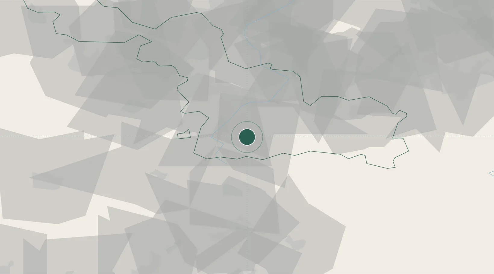
Beauvois-en-Cambrésis
50.1333°, 3.3667°
2,047
Population
1
Transport functions
Transport Functions
Multimodal
Hub Profile
Place type
Populated place
Region
Hauts-de-France
Population
2,047
Time zone
Europe/Paris
Elevation
114 m
Location
Nearby Logistics Neighbours
Cities
- 1Niergnies9 km
- 2Thun-Saint-Martin10 km
- 3Maurois10 km
- 4Rumilly-en-Cambrésis11 km
- 5Ramillies11 km
Ports
- 1Ghent107 km
- 2Bruxelles107 km
- 3Nieuwpoort119 km
- 4Bruges123 km
- 5Saint-Valery-Sur-Somme125 km
Airports
- 1Valenciennes-Denain Airfield23 km
- 2Péronne Saint-Quentin Airfield38 km
- 3Lille Airport52 km
- 4Chièvres Air Base59 km
- 5Merville-Calonne Airport75 km
DatabookThe Record of Consolidated Knowledge
France beyond logistics?