Transport Functions
Multimodal
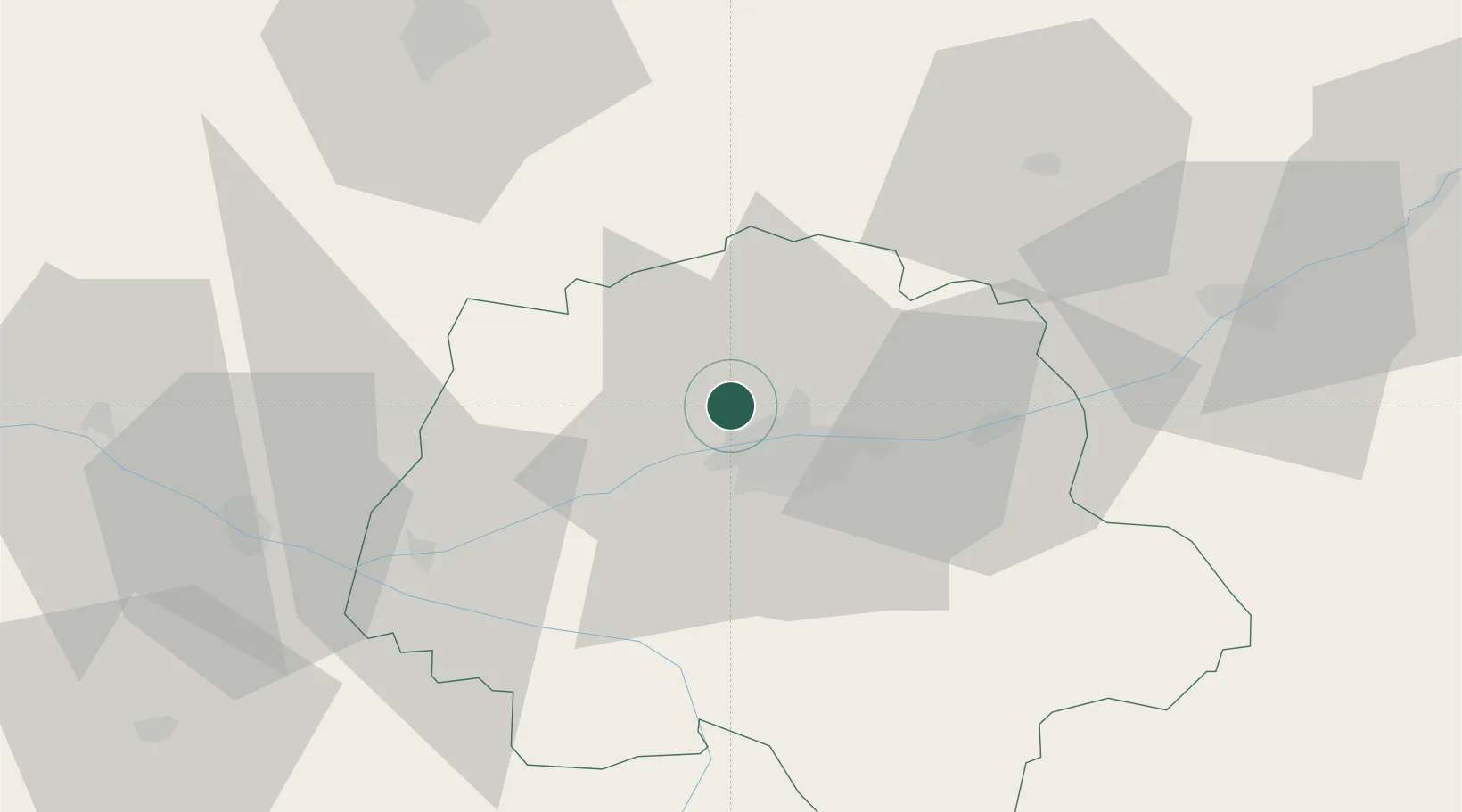
Hub Profile
Place type
Populated place
Region
Centre-Val de Loire
Population
1,914
Time zone
Europe/Paris
Elevation
62 m
Location
Nearby Logistics Neighbours
Cities
- 1Charentilly2 km
- 2Notre-Dame-d'Oé8 km
- 3Tours10 km
- 4Beaumont-la-Ronce14 km
- 5Chambray-lès-Tours15 km
Ports
- 1Nantes167 km
- 2La Rochelle197 km
- 3La Pallice200 km
- 4Tonnay Charente205 km
- 5Port De Caen206 km
Airports
- 1Tours Val de Loire Airport9 km
- 2Le Mans-Arnage Airport64 km
- 3Angers Marcé airport71 km
- 4Châteaudun Airfield88 km
- 5Poitiers-Biard Airport99 km
Trade Zones
- 1ZFU Blois51 km
- 2ZFU Le Mans70 km
- 3ZFU Angers91 km
- 4ZFU Orléans103 km
- 5ZFU Alençon116 km
DatabookThe Record of Consolidated Knowledge
France beyond logistics?