Transport Functions
Multimodal
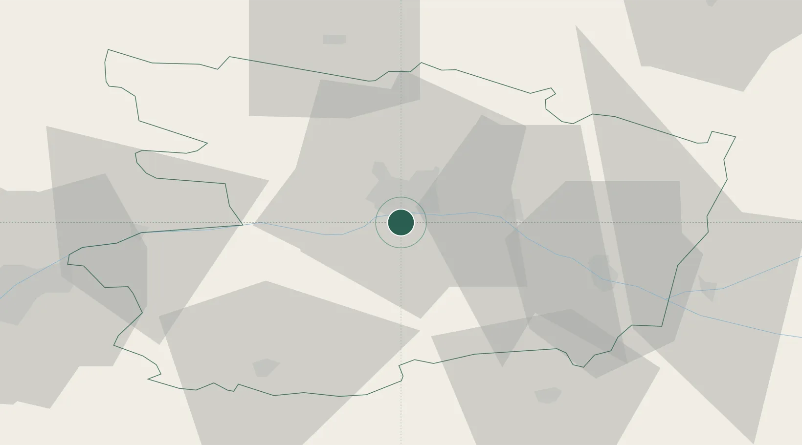
Hub Profile
Place type
Populated place
Region
Pays de la Loire
Population
5,384
Time zone
Europe/Paris
Elevation
33 m
Location
Nearby Logistics Neighbours
Cities
- 1Sainte-Gemmes-sur-Loire2 km
- 2Denée4 km
- 3Soulaines-sur-Aubance5 km
- 4Juigné-sur-Loire5 km
- 5Mozé-sur-Louet6 km
Ports
- 1Nantes80 km
- 2Donges115 km
- 3Montoir120 km
- 4St Nazaire125 km
- 5Les Sables D' Olonne138 km
Airports
- 1Angers Marcé airport25 km
- 2Laval-Entrammes Airport72 km
- 3Le Mans-Arnage Airport83 km
- 4Nantes Atlantique Airport85 km
- 5Tours Val de Loire Airport96 km
Trade Zones
- 1ZFU Angers10 km
- 2ZFU Le Mans82 km
- 3ZFU Nantes et Saint-Herblain89 km
- 4ZFU Alençon124 km
- 5ZFU Saint-Nazaire131 km
DatabookThe Record of Consolidated Knowledge
France beyond logistics?