UN/LOCODE hub · France
FRZPP

Denée

47.3833°, -0.6000°
1,467
Population
2
Transport functions

Transport Functions

Port
Multimodal
UN/LOCODE

Hub Profile

Place type
Populated place
GeoNames
Region
Pays de la Loire
GeoNames
Population
1,467
GeoNames
Time zone
Europe/Paris
GeoNames
Elevation
38 m
GeoNames

Location

Location of FRZPP
Natural Earth 10m (public domain) · Pays de la Loire · FRZPP · 47.38, -0.60GoogleOSMYandex

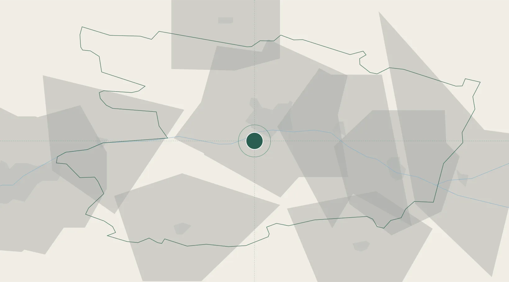
Nearby Logistics Neighbours

Cities
  1. 1Savennières4 km
  2. 2Mûrs-Erigné4 km
  3. 3Sainte-Gemmes-sur-Loire5 km
  4. 4Mozé-sur-Louet5 km
  5. 5Soulaines-sur-Aubance7 km
Nearest neighbours — logibook spatial index (haversine) over the source coordinates
Ports
  1. 1Nantes76 km
  2. 2Donges111 km
  3. 3Montoir116 km
  4. 4St Nazaire121 km
  5. 5Les Sables D' Olonne134 km
Nearest neighbours — logibook spatial index (haversine) over the source coordinates
Airports
  1. 1Angers Marcé airport29 km
  2. 2Laval-Entrammes Airport73 km
  3. 3Nantes Atlantique Airport80 km
  4. 4Le Mans-Arnage Airport87 km
  5. 5La Roche-sur-Yon Les Ajoncs Airport96 km
Nearest neighbours — logibook spatial index (haversine) over the source coordinates
Trade Zones
  1. 1ZFU Angers11 km
  2. 2ZFU Nantes et Saint-Herblain85 km
  3. 3ZFU Le Mans86 km
  4. 4ZFU Saint-Nazaire127 km
  5. 5ZFU Alençon127 km
Nearest neighbours — logibook spatial index (haversine) over the source coordinates
DatabookThe Record of Consolidated Knowledge
France beyond logistics?
Browse databook

All Sources

LocationsUN/LOCODE
UN/LOCODE — free
LocationsGeoNames
CC BY 4.0
Portsthe NGA World Port Index
Public domain (US gov)
AirportsOurAirports
Public domain
Trade Zonesthe World Bank SEZ database
CC BY 4.0
Trade ZonesOpen Zone Map
CC BY
← France locations