UN/LOCODE hub · France
FRSGT
Sainte-Gemmes-sur-Loire
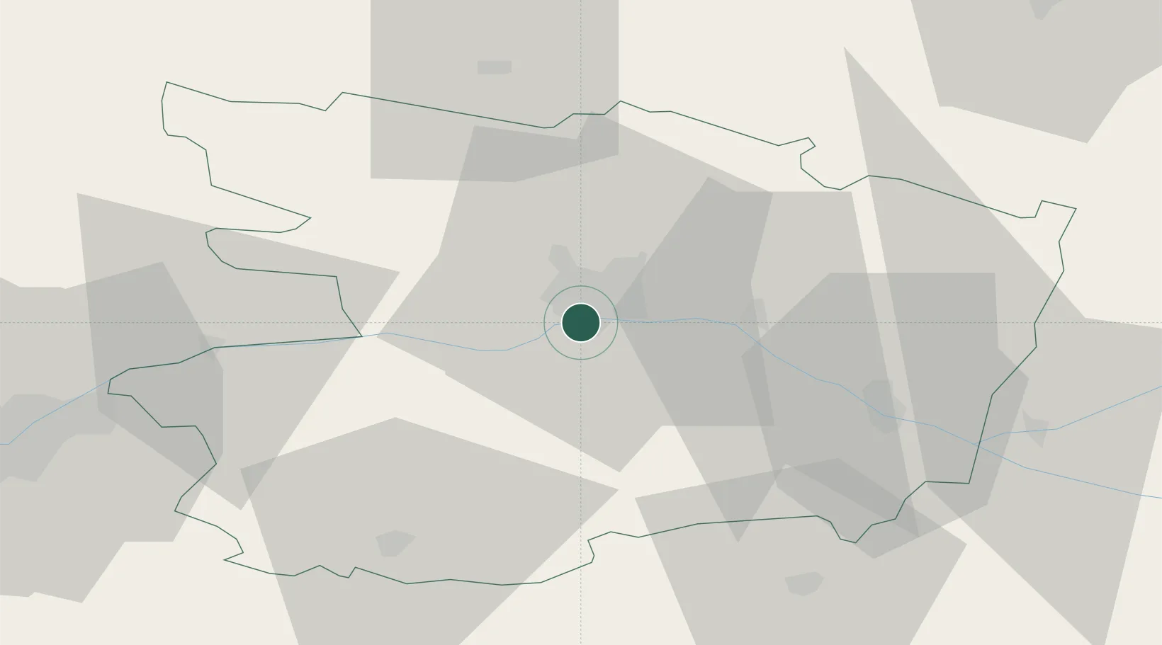
47.4167°, -0.5667°
4,157
Population
2
Transport functions
Transport Functions
Port
Road
Hub Profile
Place type
Populated place
Region
Pays de la Loire
Population
4,157
Time zone
Europe/Paris
Elevation
28 m
Location
Nearby Logistics Neighbours
Cities
- 1Mûrs-Erigné2 km
- 2Denée5 km
- 3Angers6 km
- 4Gare Saint-Laud/Angers6 km
- 5Juigné-sur-Loire7 km
Ports
- 1Nantes79 km
- 2Donges114 km
- 3Montoir119 km
- 4St Nazaire124 km
- 5Les Sables D' Olonne138 km
Airports
- 1Angers Marcé airport25 km
- 2Laval-Entrammes Airport70 km
- 3Le Mans-Arnage Airport83 km
- 4Nantes Atlantique Airport84 km
- 5Tours Val de Loire Airport97 km
Trade Zones
- 1ZFU Angers8 km
- 2ZFU Le Mans81 km
- 3ZFU Nantes et Saint-Herblain88 km
- 4ZFU Alençon123 km
- 5ZFU Saint-Nazaire130 km
DatabookThe Record of Consolidated Knowledge
France beyond logistics?