Transport Functions
Multimodal
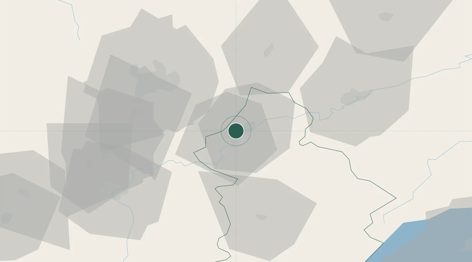
Hub Profile
Place type
Populated place
Region
Bourgogne
Population
1,827
Time zone
Europe/Paris
Elevation
209 m
Location
Nearby Logistics Neighbours
Cities
- 1Dole3 km
- 2Monnières4 km
- 3Laperrière-sur-Saône9 km
- 4Rahon11 km
- 5Lavans-lès-Dole12 km
Ports
- 1Savona388 km
- 2Rada Di Vado391 km
- 3Genova402 km
- 4Nice403 km
- 5Monaco403 km
Airports
- 1Dole Tavaux Airport5 km
- 2Dijon Longvic airport34 km
- 3Vesoul-Frotey Airfield84 km
- 4Mâcon-Charnay Airfield101 km
- 5Les Eplatures Airport102 km
Trade Zones
DatabookThe Record of Consolidated Knowledge
France beyond logistics?