UN/LOCODE hub · France
FRDLE

Dole

47.1000°, 5.4833°
25,878
Population
2
Transport functions

Transport Functions

Rail
Airport
UN/LOCODE

Hub Profile

Place type
District seat
GeoNames
Region
Bourgogne
GeoNames
Population
25,878
GeoNames
Time zone
Europe/Paris
GeoNames
Elevation
227 m
GeoNames

Location

Location of FRDLE
Natural Earth 10m (public domain) · Bourgogne · FRDLE · 47.10, 5.48GoogleOSMYandex

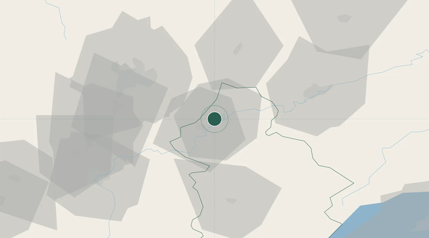
Nearby Logistics Neighbours

Cities
  1. 1Monnières2 km
  2. 2Foucherans3 km
  3. 3Lavans-lès-Dole8 km
  4. 4Laperrière-sur-Saône11 km
  5. 5Rahon13 km
Nearest neighbours — logibook spatial index (haversine) over the source coordinates
Ports
  1. 1Savona388 km
  2. 2Rada Di Vado391 km
  3. 3Genova402 km
  4. 4Nice403 km
  5. 5Monaco404 km
Nearest neighbours — logibook spatial index (haversine) over the source coordinates
Airports
  1. 1Dole Tavaux Airport8 km
  2. 2Dijon Longvic airport35 km
  3. 3Vesoul-Frotey Airfield81 km
  4. 4Les Eplatures Airport99 km
  5. 5Luxeuil-Saint-Sauveur (BA 116) Air Base101 km
Nearest neighbours — logibook spatial index (haversine) over the source coordinates
Trade Zones
  1. 1ZFU Besancon43 km
  2. 2ZFU Chenôve43 km
  3. 3PESA - Port-Franc et Entrepôts de Lausanne-Chavornay SA93 km
  4. 4ZFU Montbéliard108 km
  5. 5Port Franc Vevey109 km
Nearest neighbours — logibook spatial index (haversine) over the source coordinates
DatabookThe Record of Consolidated Knowledge
France beyond logistics?
Browse databook

All Sources

LocationsUN/LOCODE
UN/LOCODE — free
LocationsGeoNames
CC BY 4.0
Portsthe NGA World Port Index
Public domain (US gov)
AirportsOurAirports
Public domain
Trade Zonesthe World Bank SEZ database
CC BY 4.0
Trade ZonesOpen Zone Map
CC BY
← France locations