Transport Functions
Port
Road
Hub Profile
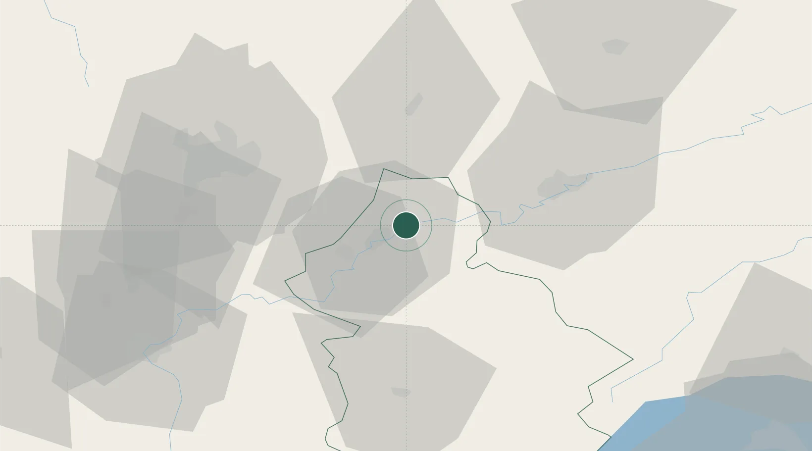
Place type
Populated place
Region
Bourgogne
Population
274
Time zone
Europe/Paris
Elevation
214 m
Location
Nearby Logistics Neighbours
Ports
- 1Savona386 km
- 2Rada Di Vado389 km
- 3Genova399 km
- 4Nice404 km
- 5Monaco404 km
Airports
Trade Zones
- 1ZFU Besancon34 km
- 2ZFU Chenôve49 km
- 3PESA - Port-Franc et Entrepôts de Lausanne-Chavornay SA88 km
- 4ZFU Montbéliard100 km
- 5Port Franc Vevey105 km
DatabookThe Record of Consolidated Knowledge
France beyond logistics?