UN/LOCODE hub · France
FRV5E

Trévé

48.2167°, -2.8000°
1,382
Population
1
Transport functions

Transport Functions

Multimodal
UN/LOCODE

Hub Profile

Place type
Populated place
GeoNames
Region
Brittany
GeoNames
Population
1,382
GeoNames
Time zone
Europe/Paris
GeoNames
Elevation
160 m
GeoNames

Location

Location of FRV5E
Natural Earth 10m (public domain) · Brittany · FRV5E · 48.22, -2.80GoogleOSMYandex

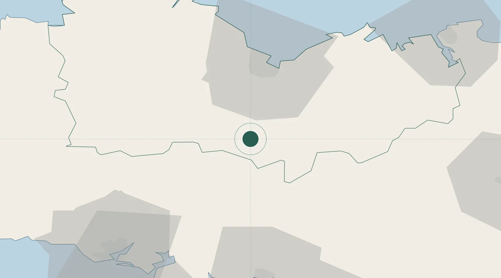
Nearby Logistics Neighbours

Cities
  1. 1Saint-Gonnery11 km
  2. 2La Chèze15 km
  3. 3Saint-Étienne-du-Gué-de-l'Isle18 km
  4. 4Bréhan19 km
  5. 5Saint-Brandan19 km
Nearest neighbours — logibook spatial index (haversine) over the source coordinates
Ports
  1. 1Le Legue35 km
  2. 2Pontrieux61 km
  3. 3Paimpol66 km
  4. 4Lorient66 km
  5. 5Lezardrieux68 km
Nearest neighbours — logibook spatial index (haversine) over the source coordinates
Airports
  1. 1Saint-Brieuc-Armor Airport36 km
  2. 2Vannes-Meucon Airport55 km
  3. 3Dinard Pleurtuit Saint-Malo airport67 km
  4. 4Lorient South Brittany (Bretagne Sud) Airport70 km
  5. 5Lannion Airport78 km
Nearest neighbours — logibook spatial index (haversine) over the source coordinates
Trade Zones
  1. 1ZFU Saint-Nazaire112 km
  2. 2ZFU Nantes et Saint-Herblain138 km
  3. 3ZFU Cherbourg-Octeville179 km
  4. 4ZFU Angers184 km
  5. 5ZFU La Guérinière, La Grâce de Dieu206 km
Nearest neighbours — logibook spatial index (haversine) over the source coordinates
DatabookThe Record of Consolidated Knowledge
France beyond logistics?
Browse databook

All Sources

LocationsUN/LOCODE
UN/LOCODE — free
LocationsGeoNames
CC BY 4.0
Portsthe NGA World Port Index
Public domain (US gov)
AirportsOurAirports
Public domain
Trade Zonesthe World Bank SEZ database
CC BY 4.0
Trade ZonesOpen Zone Map
CC BY
← France locations