UN/LOCODE hub · France
FRL5C

La Chèze

48.1333°, -2.6500°
600
Population
2
Transport functions

Transport Functions

Road
Multimodal
UN/LOCODE

Hub Profile

Place type
Populated place
GeoNames
Region
Brittany
GeoNames
Population
600
GeoNames
Time zone
Europe/Paris
GeoNames
Elevation
73 m
GeoNames

Location

Location of FRL5C
Natural Earth 10m (public domain) · Brittany · FRL5C · 48.13, -2.65GoogleOSMYandex

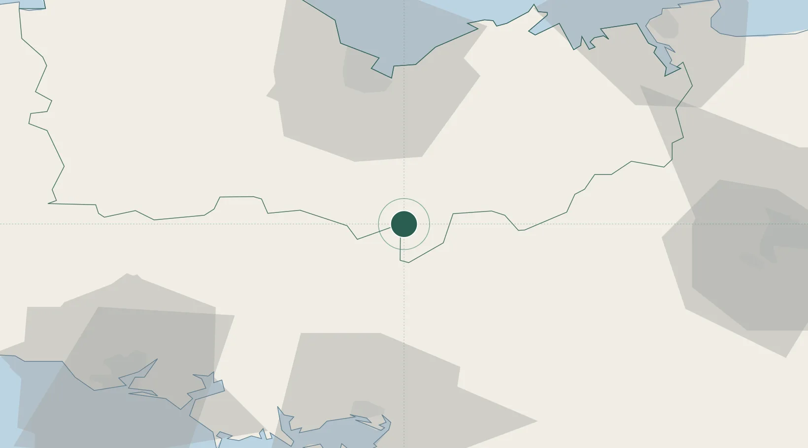
Nearby Logistics Neighbours

Cities
  1. 1Saint-Étienne-du-Gué-de-l'Isle4 km
  2. 2Bréhan8 km
  3. 3Saint-Gonnery13 km
  4. 4Trévé15 km
  5. 5Collinée21 km
Nearest neighbours — logibook spatial index (haversine) over the source coordinates
Ports
  1. 1Le Legue45 km
  2. 2Lorient67 km
  3. 3Pontrieux74 km
  4. 4Saint-Malo74 km
  5. 5Paimpol78 km
Nearest neighbours — logibook spatial index (haversine) over the source coordinates
Airports
  1. 1Vannes-Meucon Airport46 km
  2. 2Saint-Brieuc-Armor Airport48 km
  3. 3Dinard Pleurtuit Saint-Malo airport66 km
  4. 4Rennes-Saint-Jacques Airport68 km
  5. 5Lorient South Brittany (Bretagne Sud) Airport72 km
Nearest neighbours — logibook spatial index (haversine) over the source coordinates
Trade Zones
  1. 1ZFU Saint-Nazaire99 km
  2. 2ZFU Nantes et Saint-Herblain124 km
  3. 3ZFU Angers170 km
  4. 4ZFU Cherbourg-Octeville182 km
  5. 5ZFU La Guérinière, La Grâce de Dieu202 km
Nearest neighbours — logibook spatial index (haversine) over the source coordinates
DatabookThe Record of Consolidated Knowledge
France beyond logistics?
Browse databook

All Sources

LocationsUN/LOCODE
UN/LOCODE — free
LocationsGeoNames
CC BY 4.0
Portsthe NGA World Port Index
Public domain (US gov)
AirportsOurAirports
Public domain
Trade Zonesthe World Bank SEZ database
CC BY 4.0
Trade ZonesOpen Zone Map
CC BY
← France locations