Transport Functions
Multimodal
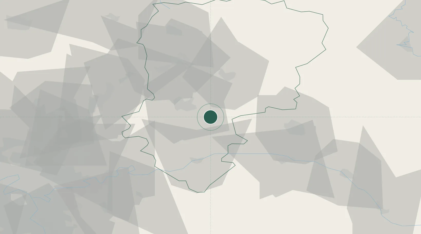
Hub Profile
Place type
Populated place
Region
Hauts-de-France
Population
85
Time zone
Europe/Paris
Elevation
101 m
Location
Nearby Logistics Neighbours
Cities
- 1Ciry-Salsogne6 km
- 2Pont-Arcy10 km
- 3Cramaille11 km
- 4Fismes12 km
- 5Fère-en-Tardenois13 km
Ports
- 1Saint-Valery-Sur-Somme167 km
- 2Le Treport176 km
- 3Port Of Rouen178 km
- 4Bruxelles182 km
- 5Dieppe188 km
Airports
Trade Zones
- 1ZFU Presles, Chevreux17 km
- 2ZFU Reims35 km
- 3ZFU Meaux61 km
- 4ZFU Le Vermandois Vermand, Fayet, Artois, Champagne63 km
- 5ZFU Creil et Montataire80 km
DatabookThe Record of Consolidated Knowledge
France beyond logistics?