Transport Functions
Rail
Road
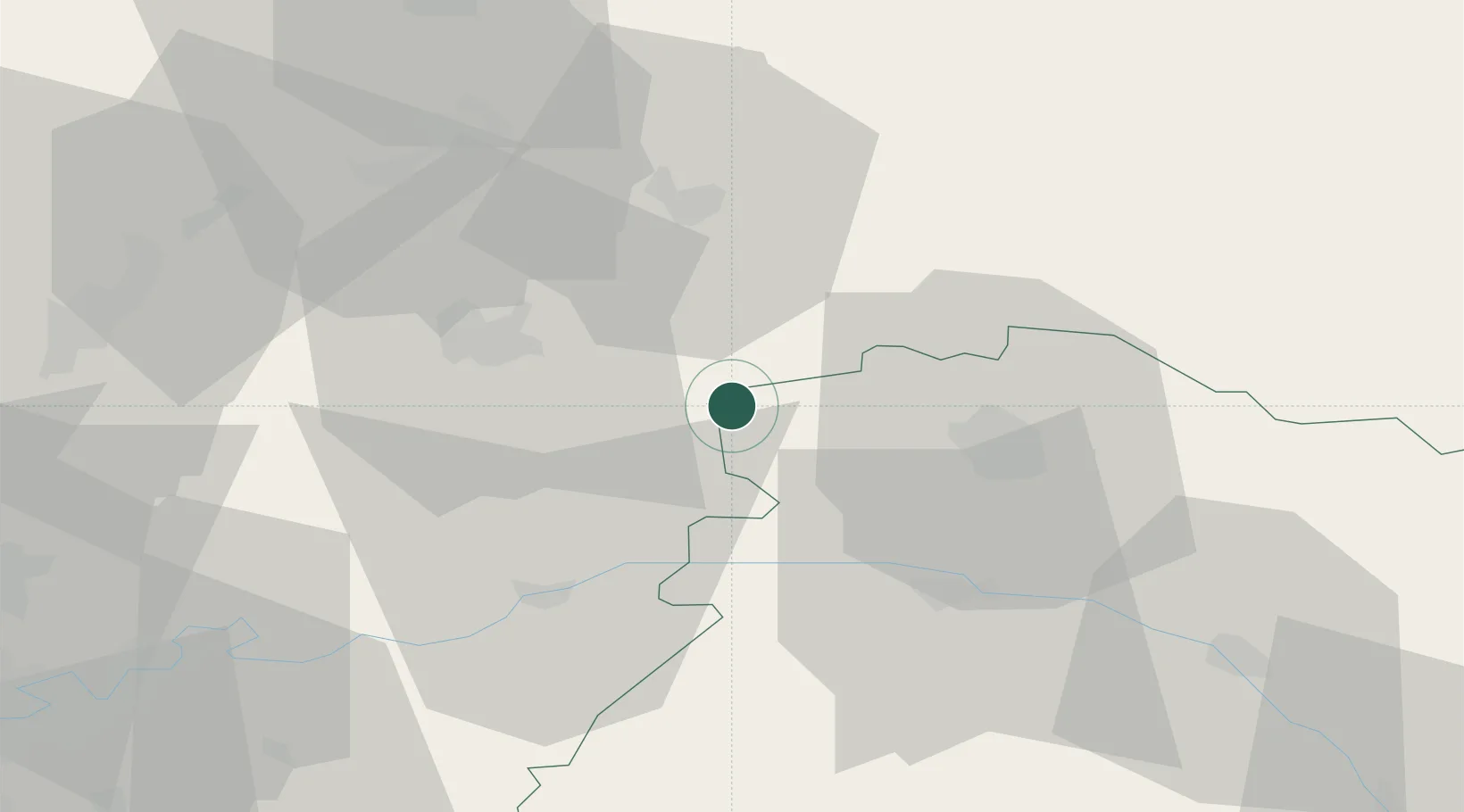
Hub Profile
Place type
Populated place
Region
Grand Est
Population
5,395
Time zone
Europe/Paris
Elevation
74 m
Logistics facilities
2
Location
Nearby Logistics Neighbours
Cities
- 1Vandeuil8 km
- 2Serzy-et-Prin8 km
- 3Brouillet10 km
- 4Pont-Arcy10 km
- 5Lagery11 km
Ports
- 1Saint-Valery-Sur-Somme178 km
- 2Bruxelles181 km
- 3Le Treport187 km
- 4Port Of Rouen190 km
- 5Ghent197 km
Airports
Trade Zones
- 1ZFU Reims23 km
- 2ZFU Presles, Chevreux29 km
- 3ZFU Meaux69 km
- 4ZFU Le Vermandois Vermand, Fayet, Artois, Champagne70 km
- 5ZFU Ronde Couture90 km
DatabookThe Record of Consolidated Knowledge
France beyond logistics?