Transport Functions
Multimodal
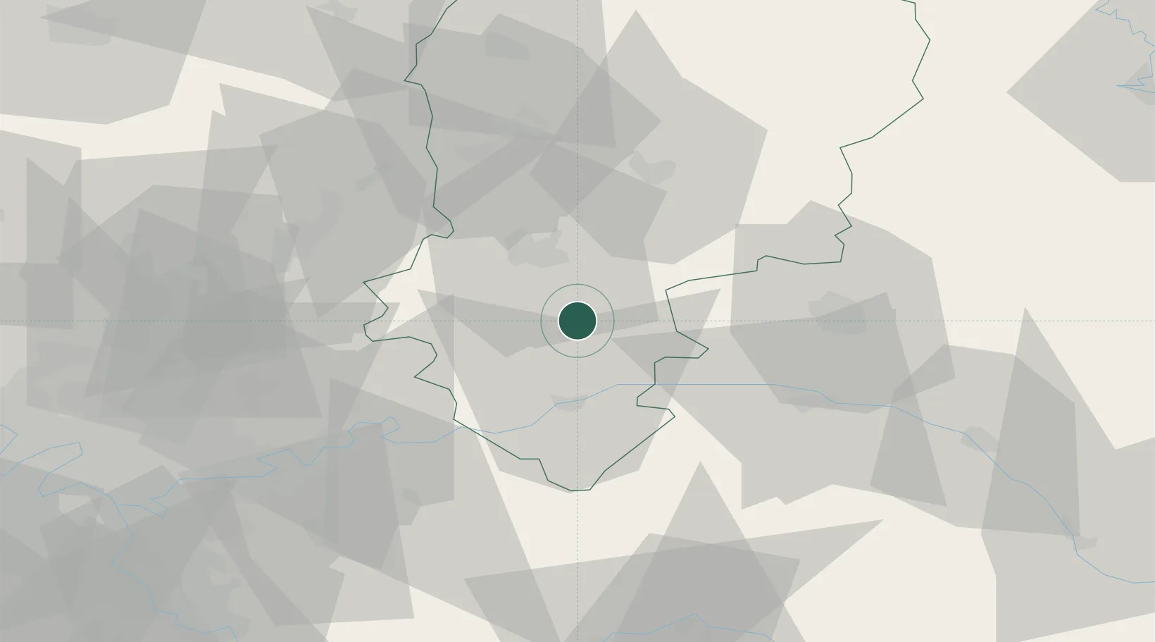
Hub Profile
Place type
Populated place
Region
Hauts-de-France
Population
103
Time zone
Europe/Paris
Elevation
154 m
Location
Nearby Logistics Neighbours
Cities
- 1Fère-en-Tardenois6 km
- 2Montgru-Saint-Hilaire10 km
- 3Cerseuil11 km
- 4Rozet-Saint-Albin12 km
- 5Ciry-Salsogne13 km
Ports
- 1Saint-Valery-Sur-Somme169 km
- 2Port Of Rouen174 km
- 3Le Treport176 km
- 4Dieppe188 km
- 5Bruxelles193 km
Airports
Trade Zones
- 1ZFU Presles, Chevreux19 km
- 2ZFU Reims39 km
- 3ZFU Meaux51 km
- 4ZFU Le Vermandois Vermand, Fayet, Artois, Champagne71 km
- 5ZFU Sevran75 km
DatabookThe Record of Consolidated Knowledge
France beyond logistics?