UN/LOCODE hub · France
FRFET
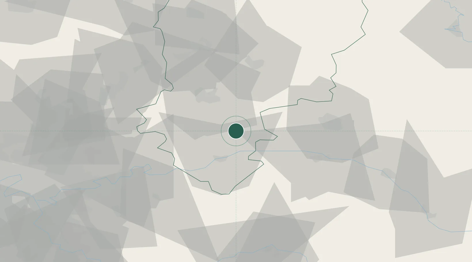
Fère-en-Tardenois
49.2000°, 3.5167°
3,370
Population
2
Transport functions
Transport Functions
Rail
Road
Hub Profile
Place type
Populated place
Region
Hauts-de-France
Population
3,370
Time zone
Europe/Paris
Elevation
123 m
Location
Nearby Logistics Neighbours
Cities
- 1Cramaille6 km
- 2Cerseuil13 km
- 3Barzy-sur-Marne13 km
- 4Chartèves13 km
- 5Montgru-Saint-Hilaire14 km
Ports
- 1Saint-Valery-Sur-Somme175 km
- 2Port Of Rouen180 km
- 3Le Treport182 km
- 4Dieppe194 km
- 5Bruxelles195 km
Airports
Trade Zones
- 1ZFU Presles, Chevreux25 km
- 2ZFU Reims35 km
- 3ZFU Meaux53 km
- 4ZFU Le Vermandois Vermand, Fayet, Artois, Champagne75 km
- 5ZFU Sevran78 km
DatabookThe Record of Consolidated Knowledge
France beyond logistics?