UN/LOCODE hub · France
FRPKM

Monnières

47.1333°, -1.3500°
1,659
Population
2
Transport functions

Transport Functions

Port
Multimodal
UN/LOCODE

Hub Profile

Place type
Populated place
GeoNames
Region
Pays de la Loire
GeoNames
Population
1,659
GeoNames
Time zone
Europe/Paris
GeoNames
Elevation
28 m
GeoNames

Location

Location of FRPKM
Natural Earth 10m (public domain) · Pays de la Loire · FRPKM · 47.13, -1.35GoogleOSMYandex

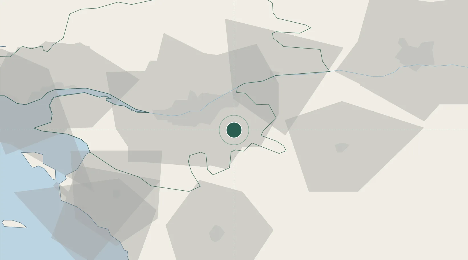
Nearby Logistics Neighbours

Cities
  1. 1La Chapelle-Heulin6 km
  2. 2Saint-Lumine-de-Clisson6 km
  3. 3Montbert13 km
  4. 4Saint-Crespin-sur-Moine13 km
  5. 5La Remaudière13 km
Nearest neighbours — logibook spatial index (haversine) over the source coordinates
Ports
  1. 1Nantes18 km
  2. 2Donges57 km
  3. 3Montoir62 km
  4. 4St Nazaire66 km
  5. 5Les Sables D' Olonne78 km
Nearest neighbours — logibook spatial index (haversine) over the source coordinates
Airports
  1. 1Nantes Atlantique Airport20 km
  2. 2La Roche-sur-Yon Les Ajoncs Airport48 km
  3. 3Beauvoir Fromentine Airfield62 km
  4. 4Saint-Nazaire-Montoir Airport64 km
  5. 5La Baule-Escoublac Airport77 km
Nearest neighbours — logibook spatial index (haversine) over the source coordinates
Trade Zones
  1. 1ZFU Nantes et Saint-Herblain28 km
  2. 2ZFU Angers69 km
  3. 3ZFU Saint-Nazaire72 km
  4. 4ZFU La Rochelle109 km
  5. 5ZFU Le Mans146 km
Nearest neighbours — logibook spatial index (haversine) over the source coordinates
DatabookThe Record of Consolidated Knowledge
France beyond logistics?
Browse databook

All Sources

LocationsUN/LOCODE
UN/LOCODE — free
LocationsGeoNames
CC BY 4.0
Portsthe NGA World Port Index
Public domain (US gov)
AirportsOurAirports
Public domain
Trade Zonesthe World Bank SEZ database
CC BY 4.0
Trade ZonesOpen Zone Map
CC BY
← France locations