UN/LOCODE hub · France
FRLSO
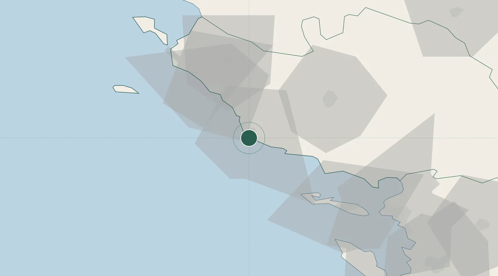
Les Sables-d'Olonne
46.5000°, -1.7833°
16,105
Population
4
Transport functions
Transport Functions
Port
Rail
Road
Airport
Hub Profile
Place type
District seat
Region
Pays de la Loire
Population
16,105
Time zone
Europe/Paris
Elevation
7 m
Location
Nearby Logistics Neighbours
Cities
- 1L'Île-d'Olonne7 km
- 2Brem-sur-Mer11 km
- 3Talmont-Saint-Hilaire13 km
- 4Saint-Gilles-Croix-de-Vie23 km
- 5Saint-Hilaire-de-Riez27 km
Ports
- 1La Pallice57 km
- 2La Rochelle62 km
- 3Nantes80 km
- 4Rochefort90 km
- 5Donges92 km
Airports
Trade Zones
- 1ZFU La Rochelle58 km
- 2ZFU Nantes et Saint-Herblain81 km
- 3ZFU Saint-Nazaire94 km
- 4ZFU Angers141 km
- 5Port de Bordeaux202 km
DatabookThe Record of Consolidated Knowledge
France beyond logistics?