UN/LOCODE hub · France
FR2MR

Brem-sur-Mer

46.6000°, -1.8167°
1
Transport functions

Transport Functions

Multimodal
UN/LOCODE

Hub Profile

Place type
Populated place
GeoNames
Region
Pays de la Loire
GeoNames
Time zone
Europe/Paris
GeoNames
Elevation
20 m
GeoNames

Location

Location of FR2MR
Natural Earth 10m (public domain) · Pays de la Loire · FR2MR · 46.60, -1.82GoogleOSMYandex

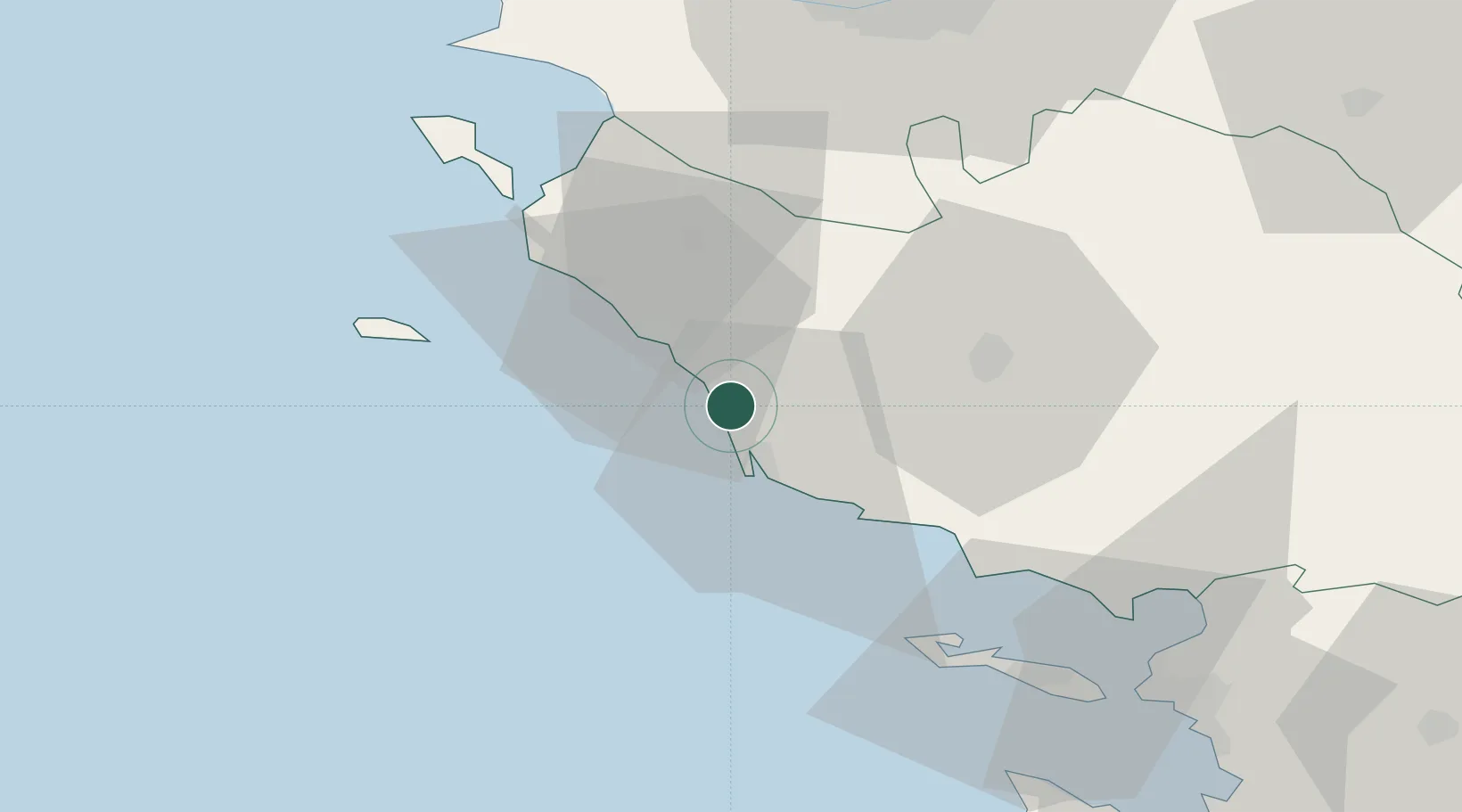
Nearby Logistics Neighbours

Cities
  1. 1L'Île-d'Olonne5 km
  2. 2Les Sables-d'Olonne11 km
  3. 3Saint-Gilles-Croix-de-Vie13 km
  4. 4Saint-Hilaire-de-Riez16 km
  5. 5Commequiers17 km
Nearest neighbours — logibook spatial index (haversine) over the source coordinates
Ports
  1. 1Les Sables D' Olonne11 km
  2. 2La Pallice67 km
  3. 3Nantes69 km
  4. 4La Rochelle72 km
  5. 5Donges80 km
Nearest neighbours — logibook spatial index (haversine) over the source coordinates
Airports
  1. 1La Roche-sur-Yon Les Ajoncs Airport35 km
  2. 2Beauvoir Fromentine Airfield38 km
  3. 3Ile D'Yeu Port Joinville Heliport43 km
  4. 4Île d'Yeu Airport46 km
  5. 5Nantes Atlantique Airport64 km
Nearest neighbours — logibook spatial index (haversine) over the source coordinates
Trade Zones
  1. 1ZFU La Rochelle67 km
  2. 2ZFU Nantes et Saint-Herblain70 km
  3. 3ZFU Saint-Nazaire83 km
  4. 4ZFU Angers135 km
  5. 5ZFU Le Mans212 km
Nearest neighbours — logibook spatial index (haversine) over the source coordinates
DatabookThe Record of Consolidated Knowledge
France beyond logistics?
Browse databook

All Sources

LocationsUN/LOCODE
UN/LOCODE — free
Portsthe NGA World Port Index
Public domain (US gov)
AirportsOurAirports
Public domain
Trade Zonesthe World Bank SEZ database
CC BY 4.0
Trade ZonesOpen Zone Map
CC BY
← France locations