Transport Functions
Port
Hub Profile
Place type
Populated place
Region
Nouvelle-Aquitaine
Population
7,229
Time zone
Europe/Paris
Elevation
7 m
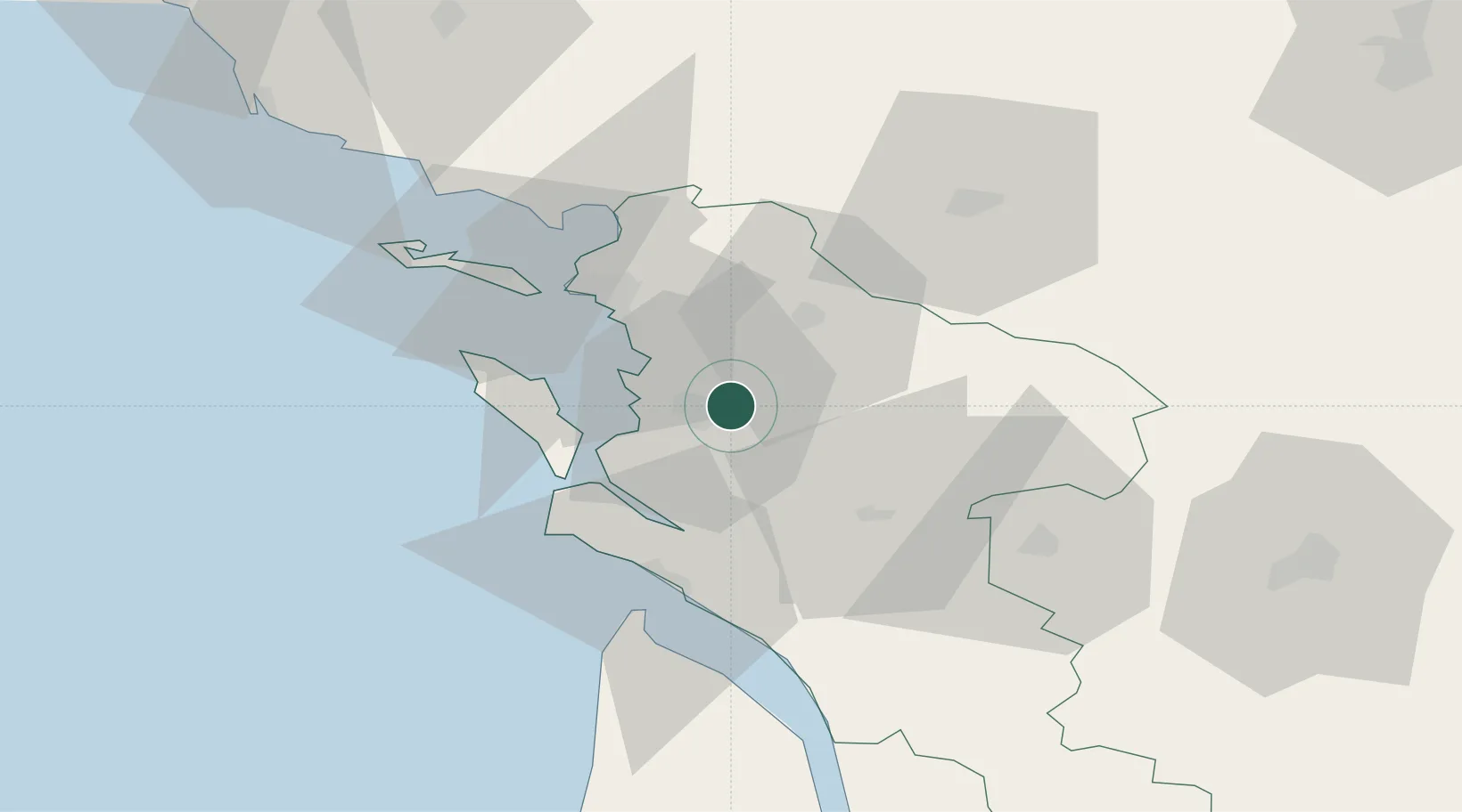
Location
Nearby Logistics Neighbours
Cities
- 1Rochefort5 km
- 2Muron11 km
- 3Saint-Laurent-de-la-Prée11 km
- 4Saint-Nazaire-sur-Charente12 km
- 5Pont-l'Abbé-d'Arnoult13 km
Ports
- 1Rochefort4 km
- 2La Rochelle29 km
- 3La Pallice34 km
- 4Le Verdon46 km
- 5Pauillac84 km
Airports
Trade Zones
- 1ZFU La Rochelle34 km
- 2Port de Bordeaux119 km
- 3ZFU Hauts de Garonne127 km
- 4ZFU Nantes et Saint-Herblain154 km
- 5ZFU Angers172 km
DatabookThe Record of Consolidated Knowledge
France beyond logistics?