UN/LOCODE hub · France
FRSZI
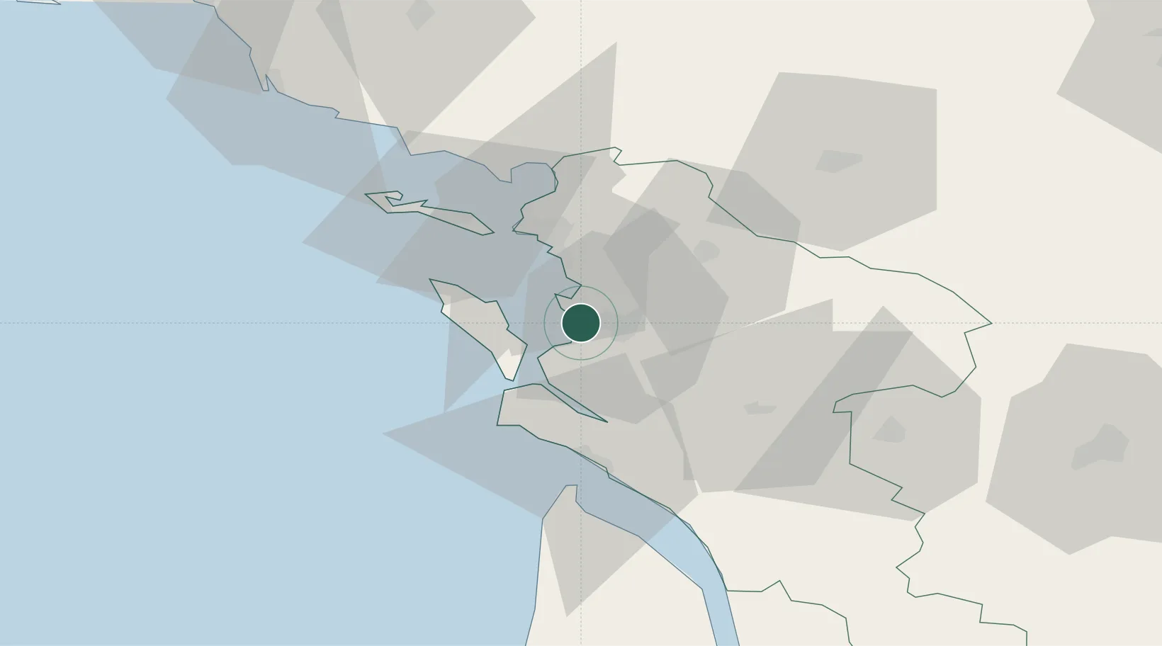
Saint-Nazaire-sur-Charente
45.9500°, -1.0500°
907
Population
2
Transport functions
Transport Functions
Port
Road
Hub Profile
Place type
Populated place
Region
Nouvelle-Aquitaine
Population
907
Time zone
Europe/Paris
Elevation
15 m
Location
Nearby Logistics Neighbours
Cities
- 1Saint-Laurent-de-la-Prée4 km
- 2Rochefort6 km
- 3Hiers-Brouage11 km
- 4Tonnay-Charente12 km
- 5Ile-d'Aix13 km
Ports
- 1Rochefort8 km
- 2Tonnay Charente12 km
- 3La Rochelle24 km
- 4La Pallice27 km
- 5Le Verdon45 km
Airports
Trade Zones
- 1ZFU La Rochelle27 km
- 2Port de Bordeaux122 km
- 3ZFU Hauts de Garonne130 km
- 4ZFU Nantes et Saint-Herblain150 km
- 5ZFU Angers174 km
DatabookThe Record of Consolidated Knowledge
France beyond logistics?