Transport Functions
Road
Multimodal
Hub Profile
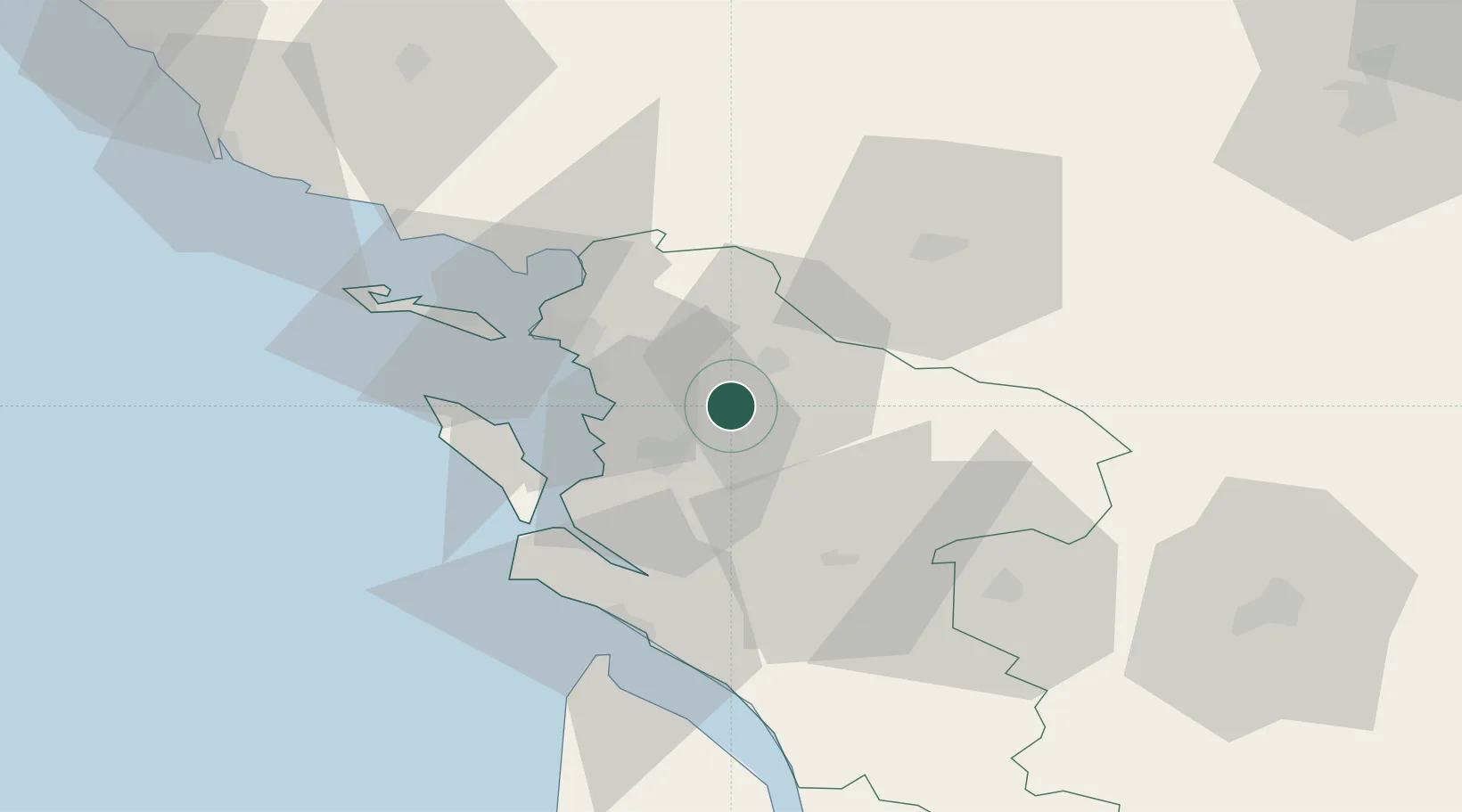
Place type
Populated place
Region
Nouvelle-Aquitaine
Population
1,086
Time zone
Europe/Paris
Elevation
15 m
Location
Nearby Logistics Neighbours
Cities
- 1Tonnay-Charente11 km
- 2Saint-Georges-du-Bois14 km
- 3Rochefort14 km
- 4Saint-Laurent-de-la-Prée16 km
- 5La Jarrie18 km
Ports
- 1Tonnay Charente12 km
- 2Rochefort14 km
- 3La Rochelle28 km
- 4La Pallice33 km
- 5Le Verdon56 km
Airports
Trade Zones
- 1ZFU La Rochelle33 km
- 2Port de Bordeaux127 km
- 3ZFU Hauts de Garonne135 km
- 4ZFU Nantes et Saint-Herblain148 km
- 5ZFU Angers162 km
DatabookThe Record of Consolidated Knowledge
France beyond logistics?