UN/LOCODE hub · France
FRRCO

Rochefort

45.9500°, -0.9667°
29,427
Population
3
Transport functions

Transport Functions

Port
Rail
Airport
Rochefort is also a profiled seaport →
UN/LOCODE

Hub Profile

Place type
District seat
GeoNames
Region
Nouvelle-Aquitaine
GeoNames
Population
29,427
GeoNames
Time zone
Europe/Paris
GeoNames
Elevation
15 m
GeoNames

Location

Location of FRRCO
Natural Earth 10m (public domain) · Nouvelle-Aquitaine · FRRCO · 45.95, -0.97GoogleOSMYandex

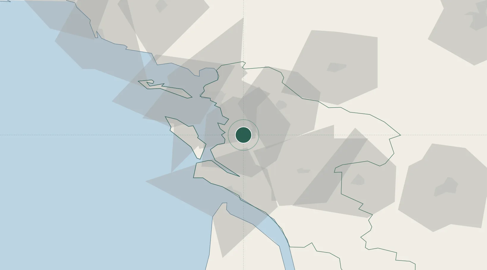
Nearby Logistics Neighbours

Cities
  1. 1Tonnay-Charente5 km
  2. 2Saint-Laurent-de-la-Prée6 km
  3. 3Saint-Nazaire-sur-Charente6 km
  4. 4Hiers-Brouage14 km
  5. 5Muron14 km
Nearest neighbours — logibook spatial index (haversine) over the source coordinates
Ports
  1. 1Tonnay Charente6 km
  2. 2La Rochelle26 km
  3. 3La Pallice31 km
  4. 4Le Verdon45 km
  5. 5Pauillac85 km
Nearest neighbours — logibook spatial index (haversine) over the source coordinates
Airports
  1. 1Rochefort-Saint-Agnant (BA 721) Airport7 km
  2. 2La Rochelle Île de Ré Airport31 km
  3. 3Royan-Médis Airport36 km
  4. 4Niort - Marais Poitevin Airport60 km
  5. 5Cognac-Châteaubernard (BA 709) Air Base60 km
Nearest neighbours — logibook spatial index (haversine) over the source coordinates
Trade Zones
  1. 1ZFU La Rochelle30 km
  2. 2Port de Bordeaux120 km
  3. 3ZFU Hauts de Garonne128 km
  4. 4ZFU Nantes et Saint-Herblain152 km
  5. 5ZFU Angers173 km
Nearest neighbours — logibook spatial index (haversine) over the source coordinates
DatabookThe Record of Consolidated Knowledge
France beyond logistics?
Browse databook

All Sources

LocationsUN/LOCODE
UN/LOCODE — free
LocationsGeoNames
CC BY 4.0
Portsthe NGA World Port Index
Public domain (US gov)
AirportsOurAirports
Public domain
Trade Zonesthe World Bank SEZ database
CC BY 4.0
Trade ZonesOpen Zone Map
CC BY
← France locations