UN/LOCODE hub · France
FRPBB

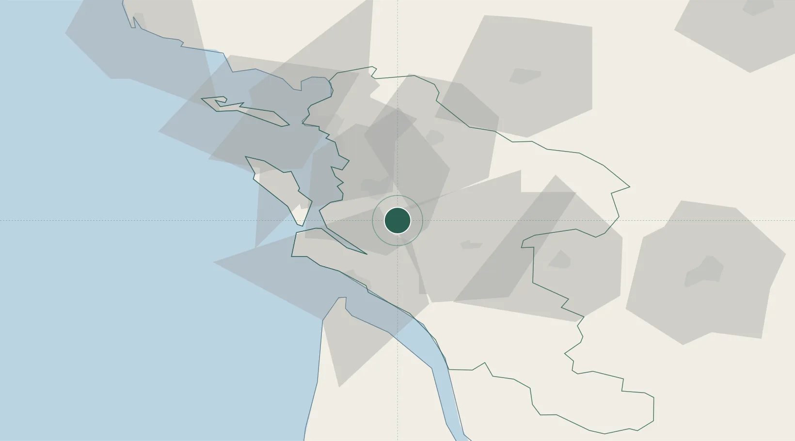
Pont-l'Abbé-d'Arnoult

45.8333°, -0.8833°
1,716
Population
2
Transport functions

Transport Functions

Road
Multimodal
UN/LOCODE

Hub Profile

Place type
Populated place
GeoNames
Region
Nouvelle-Aquitaine
GeoNames
Population
1,716
GeoNames
Time zone
Europe/Paris
GeoNames
Elevation
22 m
GeoNames

Location

Location of FRPBB
Natural Earth 10m (public domain) · Nouvelle-Aquitaine · FRPBB · 45.83, -0.88GoogleOSMYandex

Nearby Logistics Neighbours

Cities
  1. 1Sainte-Gemme8 km
  2. 2Soulignonne10 km
  3. 3Sablonceaux13 km
  4. 4Tonnay-Charente13 km
  5. 5Hiers-Brouage14 km
Nearest neighbours — logibook spatial index (haversine) over the source coordinates
Ports
  1. 1Tonnay Charente11 km
  2. 2Rochefort12 km
  3. 3Le Verdon34 km
  4. 4La Rochelle41 km
  5. 5La Pallice45 km
Nearest neighbours — logibook spatial index (haversine) over the source coordinates
Airports
  1. 1Rochefort-Saint-Agnant (BA 721) Airport10 km
  2. 2Royan-Médis Airport24 km
  3. 3La Rochelle Île de Ré Airport45 km
  4. 4Cognac-Châteaubernard (BA 709) Air Base48 km
  5. 5Niort - Marais Poitevin Airport65 km
Nearest neighbours — logibook spatial index (haversine) over the source coordinates
Trade Zones
  1. 1ZFU La Rochelle45 km
  2. 2Port de Bordeaux106 km
  3. 3ZFU Hauts de Garonne114 km
  4. 4ZFU Nantes et Saint-Herblain167 km
  5. 5ZFU Angers185 km
Nearest neighbours — logibook spatial index (haversine) over the source coordinates
DatabookThe Record of Consolidated Knowledge
France beyond logistics?
Browse databook

All Sources

LocationsUN/LOCODE
UN/LOCODE — free
LocationsGeoNames
CC BY 4.0
Portsthe NGA World Port Index
Public domain (US gov)
AirportsOurAirports
Public domain
Trade Zonesthe World Bank SEZ database
CC BY 4.0
Trade ZonesOpen Zone Map
CC BY
← France locations