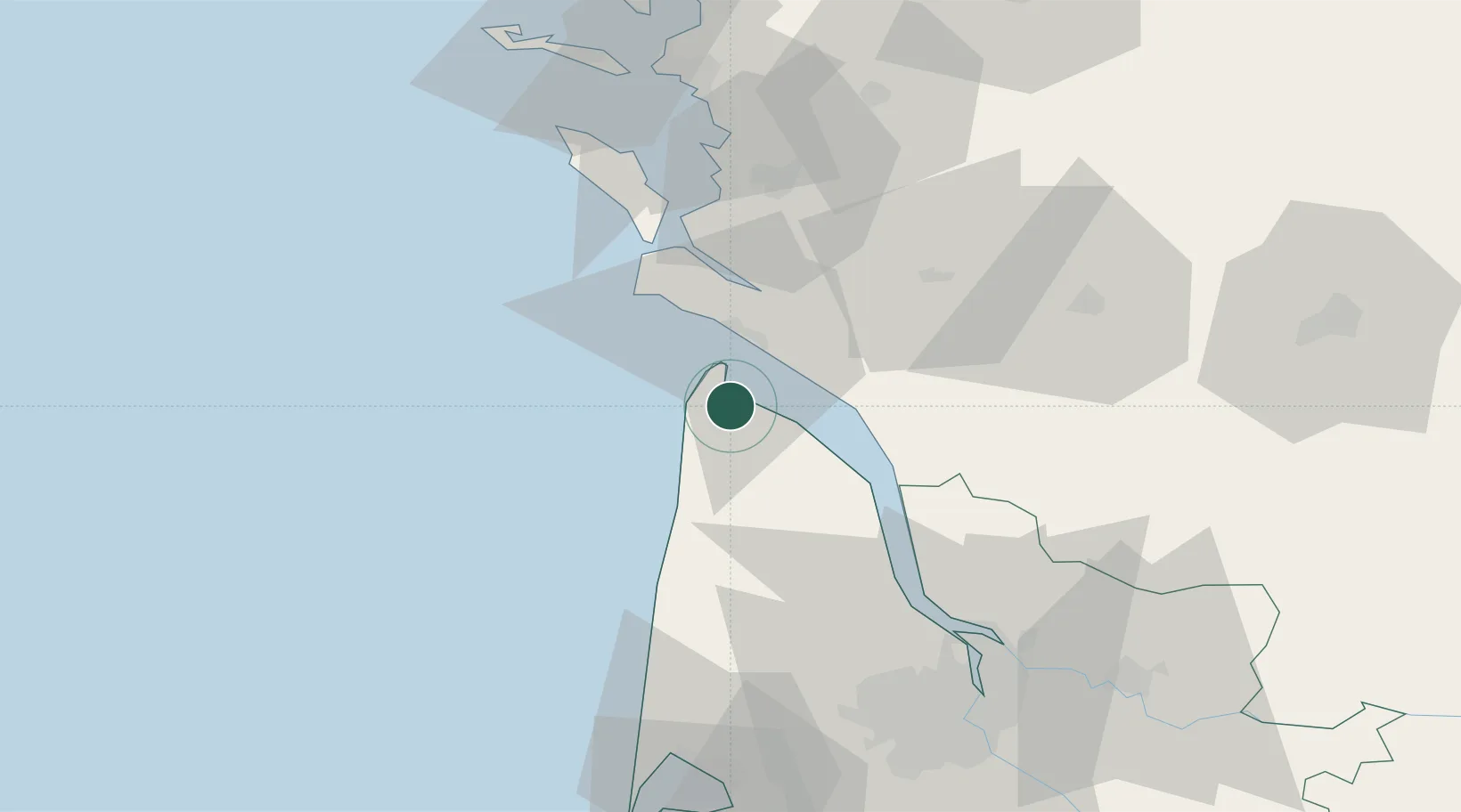
UN/LOCODE hub · France
FRTII

Talais

45.4833°, -1.0500°
2
Transport functions

Transport Functions

Port
Road
UN/LOCODE

Hub Profile

Place type
Populated place
GeoNames
Region
Nouvelle-Aquitaine
GeoNames
Time zone
Europe/Paris
GeoNames
Elevation
5 m
GeoNames

Location

Location of FRTII
Natural Earth 10m (public domain) · Nouvelle-Aquitaine · FRTII · 45.48, -1.05GoogleOSMYandex

Nearby Logistics Neighbours

Cities
  1. 1Le Verdon-sur-Mer8 km
  2. 2Grayan-et-l'Hôpital8 km
  3. 3Vensac11 km
  4. 4Talmont-sur-Gironde13 km
  5. 5Queyrac14 km
Nearest neighbours — logibook spatial index (haversine) over the source coordinates
Ports
  1. 1Le Verdon7 km
  2. 2Pauillac39 km
  3. 3Blaye49 km
  4. 4Rochefort51 km
  5. 5Tonnay Charente51 km
Nearest neighbours — logibook spatial index (haversine) over the source coordinates
Airports
  1. 1Royan-Médis Airport17 km
  2. 2Rochefort-Saint-Agnant (BA 721) Airport45 km
  3. 3Cognac-Châteaubernard (BA 709) Air Base60 km
  4. 4Bordeaux–Mérignac Airport77 km
  5. 5La Rochelle Île de Ré Airport78 km
Nearest neighbours — logibook spatial index (haversine) over the source coordinates
Trade Zones
  1. 1Port de Bordeaux75 km
  2. 2ZFU La Rochelle77 km
  3. 3ZFU Hauts de Garonne82 km
  4. 4ZFU Nantes et Saint-Herblain200 km
  5. 5ZFU Saint-Nazaire220 km
Nearest neighbours — logibook spatial index (haversine) over the source coordinates
DatabookThe Record of Consolidated Knowledge
France beyond logistics?
Browse databook

All Sources

LocationsUN/LOCODE
UN/LOCODE — free
Portsthe NGA World Port Index
Public domain (US gov)
AirportsOurAirports
Public domain
Trade Zonesthe World Bank SEZ database
CC BY 4.0
Trade ZonesOpen Zone Map
CC BY
← France locations