UN/LOCODE hub · France
FRTG4
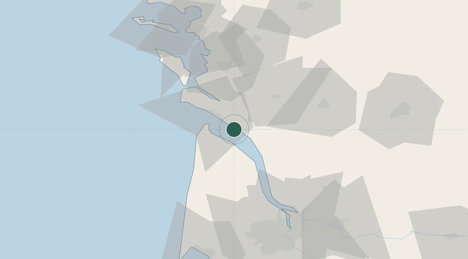
Talmont-sur-Gironde
45.5333°, -0.9000°
88
Population
2
Transport functions
Transport Functions
Port
Road
Hub Profile
Place type
Populated place
Region
Nouvelle-Aquitaine
Population
88
Time zone
Europe/Paris
Elevation
13 m
Location
Nearby Logistics Neighbours
Cities
- 1Chenac-Saint-Seurin-d'Uzet6 km
- 2Cozes8 km
- 3Éraville8 km
- 4Le Chay11 km
- 5Médis12 km
Ports
- 1Le Verdon12 km
- 2Pauillac39 km
- 3Tonnay Charente45 km
- 4Rochefort45 km
- 5Blaye48 km
Airports
Trade Zones
- 1ZFU La Rochelle74 km
- 2Port de Bordeaux75 km
- 3ZFU Hauts de Garonne82 km
- 4ZFU Nantes et Saint-Herblain198 km
- 5ZFU Angers218 km
DatabookThe Record of Consolidated Knowledge
France beyond logistics?