UN/LOCODE hub · France
FRLVE
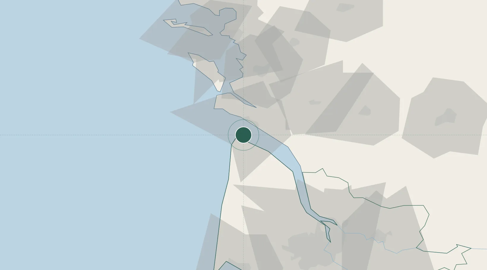
Le Verdon-sur-Mer
45.5500°, -1.0667°
1,334
Population
3
Transport functions
Transport Functions
Port
Rail
Road
Hub Profile
Place type
Populated place
Region
Nouvelle-Aquitaine
Population
1,334
Time zone
Europe/Paris
Elevation
6 m
Location
Nearby Logistics Neighbours
Cities
- 1Royan8 km
- 2Talais8 km
- 3Médis13 km
- 4Talmont-sur-Gironde13 km
- 5Grayan-et-l'Hôpital14 km
Ports
- 1Rochefort44 km
- 2Tonnay Charente45 km
- 3Pauillac46 km
- 4Blaye56 km
- 5La Rochelle67 km
Airports
Trade Zones
- 1ZFU La Rochelle69 km
- 2Port de Bordeaux82 km
- 3ZFU Hauts de Garonne89 km
- 4ZFU Nantes et Saint-Herblain192 km
- 5ZFU Saint-Nazaire213 km
DatabookThe Record of Consolidated Knowledge
France beyond logistics?