UN/LOCODE hub · France
FRVNK

Vensac

45.3833°, -1.0333°
1
Transport functions

Transport Functions

Multimodal
UN/LOCODE

Hub Profile

Place type
Populated place
GeoNames
Region
Nouvelle-Aquitaine
GeoNames
Time zone
Europe/Paris
GeoNames
Elevation
8 m
GeoNames

Location

Location of FRVNK
Natural Earth 10m (public domain) · Nouvelle-Aquitaine · FRVNK · 45.38, -1.03GoogleOSMYandex

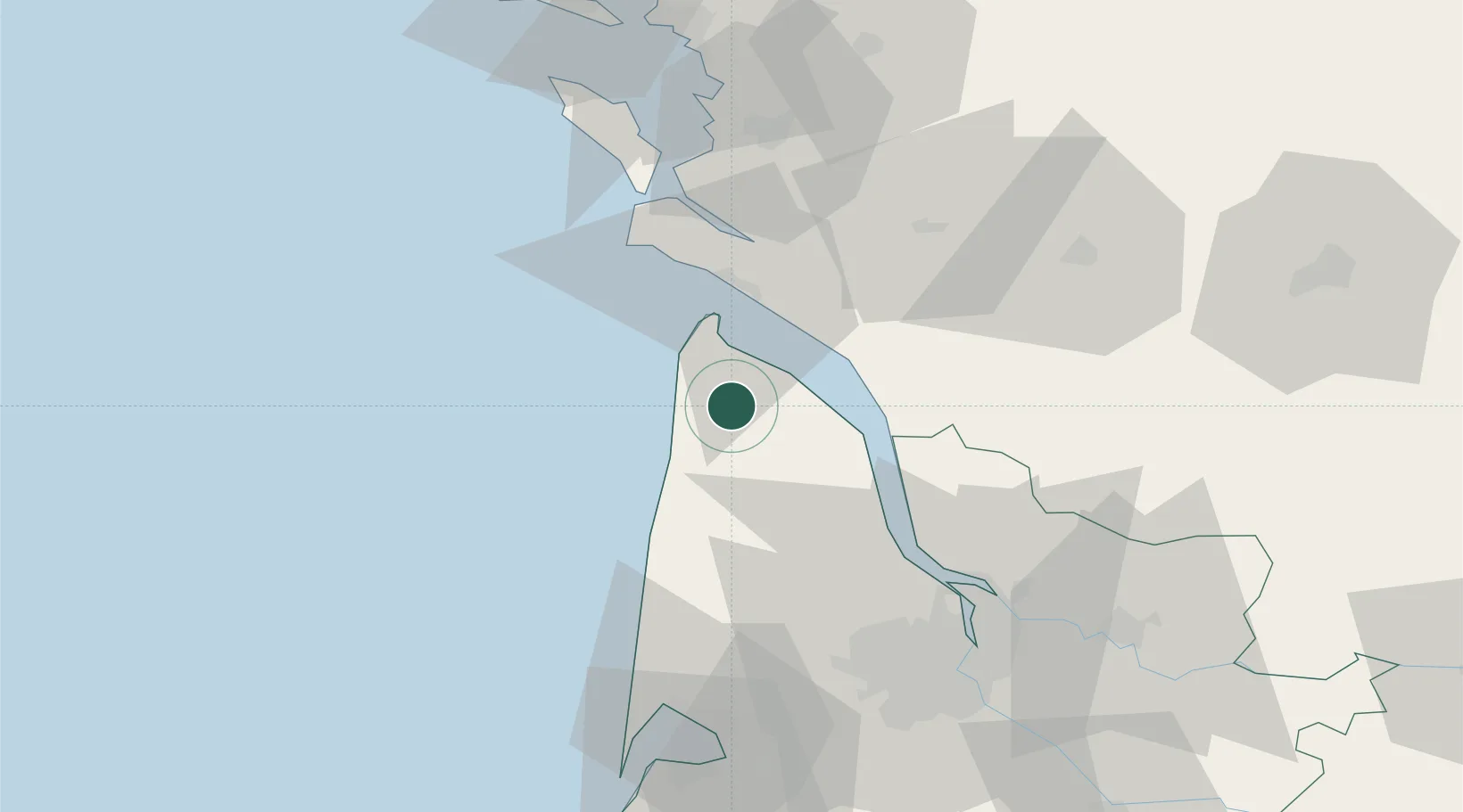
Nearby Logistics Neighbours

Cities
  1. 1Queyrac4 km
  2. 2Grayan-et-l'Hôpital9 km
  3. 3Valeyrac11 km
  4. 4Port de Goulee11 km
  5. 5Prignac-en-Médoc11 km
Nearest neighbours — logibook spatial index (haversine) over the source coordinates
Ports
  1. 1Le Verdon19 km
  2. 2Pauillac30 km
  3. 3Blaye40 km
  4. 4Ambes57 km
  5. 5Rochefort62 km
Nearest neighbours — logibook spatial index (haversine) over the source coordinates
Airports
  1. 1Royan-Médis Airport28 km
  2. 2Rochefort-Saint-Agnant (BA 721) Airport56 km
  3. 3Cognac-Châteaubernard (BA 709) Air Base64 km
  4. 4Bordeaux–Mérignac Airport67 km
  5. 5Aérodrome d'Arcachon-La Teste-de-Buch88 km
Nearest neighbours — logibook spatial index (haversine) over the source coordinates
Trade Zones
  1. 1Port de Bordeaux66 km
  2. 2ZFU Hauts de Garonne71 km
  3. 3ZFU La Rochelle88 km
  4. 4ZFU Nantes et Saint-Herblain211 km
  5. 5ZFU Saint-Nazaire231 km
Nearest neighbours — logibook spatial index (haversine) over the source coordinates
DatabookThe Record of Consolidated Knowledge
France beyond logistics?
Browse databook

All Sources

LocationsUN/LOCODE
UN/LOCODE — free
Portsthe NGA World Port Index
Public domain (US gov)
AirportsOurAirports
Public domain
Trade Zonesthe World Bank SEZ database
CC BY 4.0
Trade ZonesOpen Zone Map
CC BY
← France locations