UN/LOCODE hub · France
FRG9Y

Grayan-et-l'Hôpital

45.4333°, -1.1167°
2
Transport functions

Transport Functions

Road
Multimodal
UN/LOCODE

Hub Profile

Region
33
GeoNames

Location

Location of FRG9Y
Natural Earth 10m (public domain) · 33 · FRG9Y · 45.43, -1.12GoogleOSMYandex

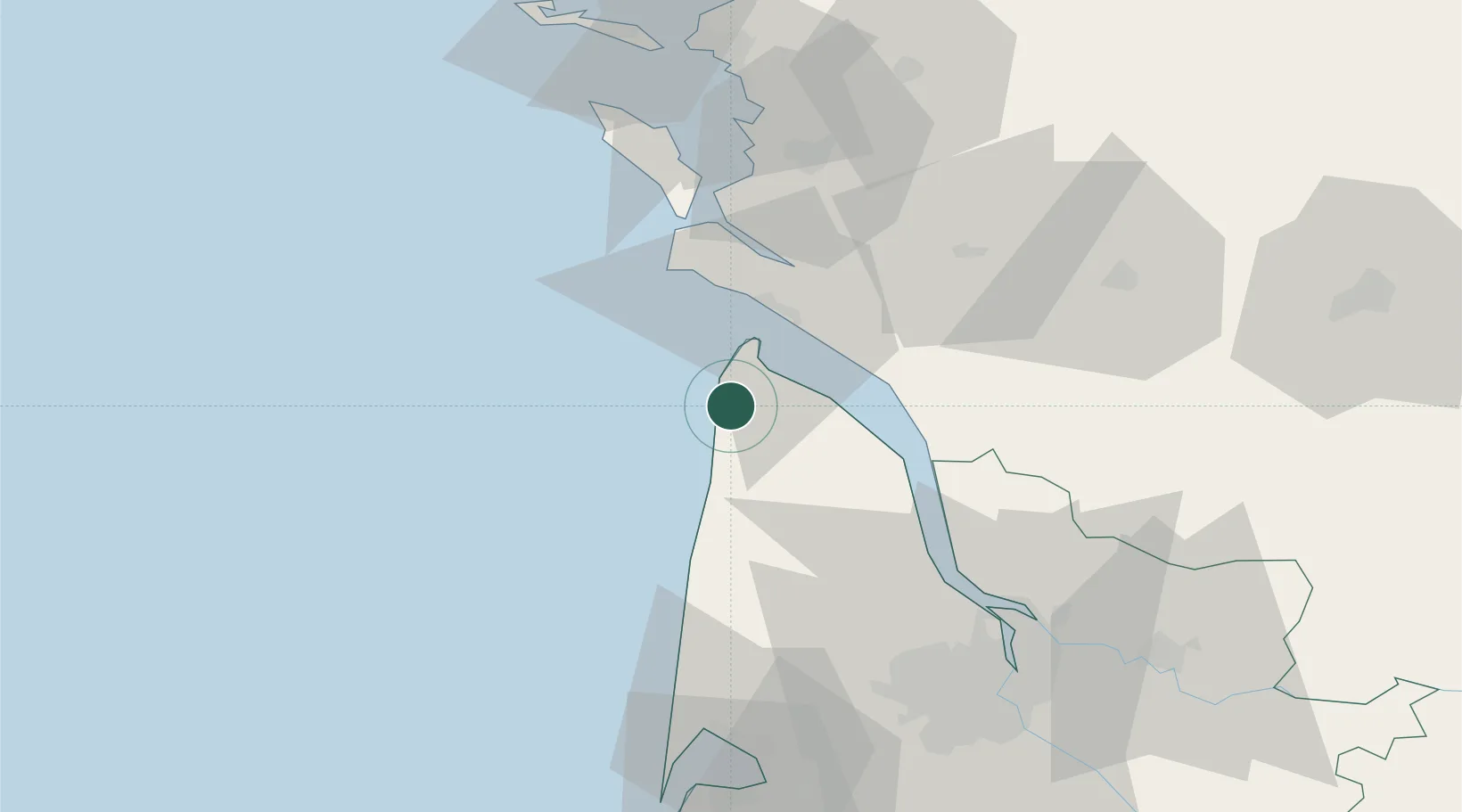
Nearby Logistics Neighbours

Cities
  1. 1Talais8 km
  2. 2Vensac9 km
  3. 3Queyrac13 km
  4. 4Le Verdon-sur-Mer14 km
  5. 5Valeyrac17 km
Nearest neighbours — logibook spatial index (haversine) over the source coordinates
Ports
  1. 1Le Verdon14 km
  2. 2Pauillac39 km
  3. 3Blaye49 km
  4. 4Rochefort57 km
  5. 5Tonnay Charente58 km
Nearest neighbours — logibook spatial index (haversine) over the source coordinates
Airports
  1. 1Royan-Médis Airport24 km
  2. 2Rochefort-Saint-Agnant (BA 721) Airport52 km
  3. 3Cognac-Châteaubernard (BA 709) Air Base67 km
  4. 4Bordeaux–Mérignac Airport74 km
  5. 5La Rochelle Île de Ré Airport83 km
Nearest neighbours — logibook spatial index (haversine) over the source coordinates
Trade Zones
  1. 1Port de Bordeaux74 km
  2. 2ZFU Hauts de Garonne79 km
  3. 3ZFU La Rochelle81 km
  4. 4ZFU Nantes et Saint-Herblain204 km
  5. 5ZFU Saint-Nazaire223 km
Nearest neighbours — logibook spatial index (haversine) over the source coordinates
DatabookThe Record of Consolidated Knowledge
France beyond logistics?
Browse databook

All Sources

LocationsUN/LOCODE
UN/LOCODE — free
Portsthe NGA World Port Index
Public domain (US gov)
AirportsOurAirports
Public domain
Trade Zonesthe World Bank SEZ database
CC BY 4.0
Trade ZonesOpen Zone Map
CC BY
← France locations