Transport Functions
Multimodal
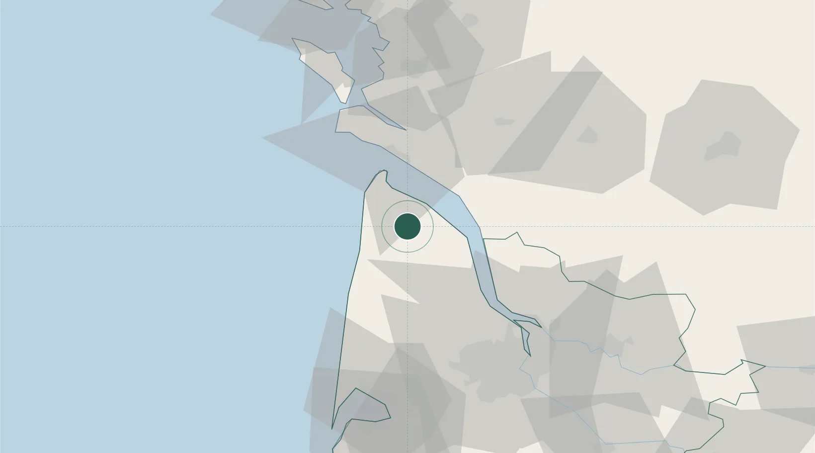
Hub Profile
Place type
Populated place
Region
Nouvelle-Aquitaine
Time zone
Europe/Paris
Elevation
9 m
Location
Nearby Logistics Neighbours
Cities
- 1Vensac4 km
- 2Prignac-en-Médoc6 km
- 3Valeyrac8 km
- 4Port de Goulee8 km
- 5Civrac-en-Médoc8 km
Airports
Trade Zones
- 1Port de Bordeaux62 km
- 2ZFU Hauts de Garonne68 km
- 3ZFU La Rochelle90 km
- 4ZFU Nantes et Saint-Herblain214 km
- 5ZFU Saint-Nazaire234 km
DatabookThe Record of Consolidated Knowledge
France beyond logistics?