Transport Functions
Rail
Road
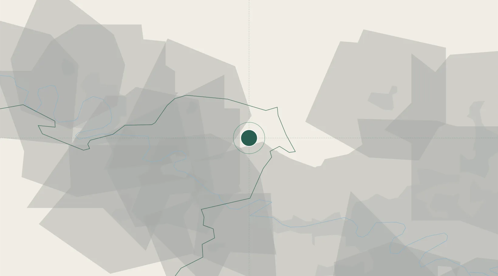
Hub Profile
Place type
Populated place
Region
Normandy
Population
3,761
Time zone
Europe/Paris
Elevation
86 m
Location
Nearby Logistics Neighbours
Cities
- 1Bézu-Saint-Éloi6 km
- 2Bernouville6 km
- 3Écos15 km
- 4Trie-Château16 km
- 5Chaumont-en-Vexin20 km
Ports
- 1Port Of Rouen43 km
- 2Dieppe80 km
- 3Le Treport87 km
- 4Saint-Valery-Sur-Somme98 km
- 5Honfleur102 km
Airports
Trade Zones
- 1ZFU Mantes-la-Jolie35 km
- 2ZFU Beauvais35 km
- 3ZFU Les Mureaux40 km
- 4ZFU Rouen Bihorel42 km
- 5ZFU Évreux46 km
DatabookThe Record of Consolidated Knowledge
France beyond logistics?