UN/LOCODE hub · France
FRKPL

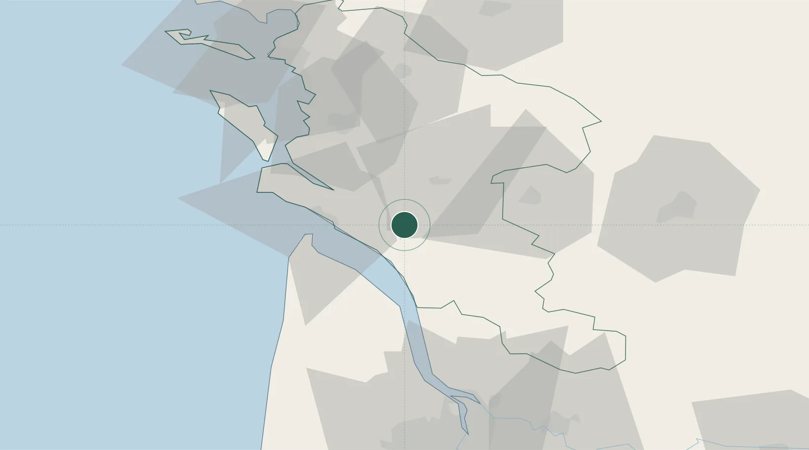
Saint-André-de-Lidon

45.6000°, -0.7500°
925
Population
1
Transport functions

Transport Functions

Multimodal
UN/LOCODE

Hub Profile

Place type
Populated place
GeoNames
Region
Nouvelle-Aquitaine
GeoNames
Population
925
GeoNames
Time zone
Europe/Paris
GeoNames
Elevation
23 m
GeoNames

Location

Location of FRKPL
Natural Earth 10m (public domain) · Nouvelle-Aquitaine · FRKPL · 45.60, -0.75GoogleOSMYandex

Nearby Logistics Neighbours

Cities
  1. 1Virollet6 km
  2. 2Cozes7 km
  3. 3Éraville7 km
  4. 4Thénac11 km
  5. 5Brie-sous-Mortagne11 km
Nearest neighbours — logibook spatial index (haversine) over the source coordinates
Ports
  1. 1Le Verdon24 km
  2. 2Tonnay Charente39 km
  3. 3Rochefort40 km
  4. 4Pauillac45 km
  5. 5Blaye52 km
Nearest neighbours — logibook spatial index (haversine) over the source coordinates
Airports
  1. 1Royan-Médis Airport18 km
  2. 2Cognac-Châteaubernard (BA 709) Air Base34 km
  3. 3Rochefort-Saint-Agnant (BA 721) Airport37 km
  4. 4La Rochelle Île de Ré Airport73 km
  5. 5Angoulême Brie-Champniers airport77 km
Nearest neighbours — logibook spatial index (haversine) over the source coordinates
Trade Zones
  1. 1ZFU La Rochelle72 km
  2. 2Port de Bordeaux79 km
  3. 3ZFU Hauts de Garonne87 km
  4. 4ZFU Nantes et Saint-Herblain195 km
  5. 5ZFU Angers210 km
Nearest neighbours — logibook spatial index (haversine) over the source coordinates
DatabookThe Record of Consolidated Knowledge
France beyond logistics?
Browse databook

All Sources

LocationsUN/LOCODE
UN/LOCODE — free
LocationsGeoNames
CC BY 4.0
Portsthe NGA World Port Index
Public domain (US gov)
AirportsOurAirports
Public domain
Trade Zonesthe World Bank SEZ database
CC BY 4.0
Trade ZonesOpen Zone Map
CC BY
← France locations