Transport Functions
Multimodal
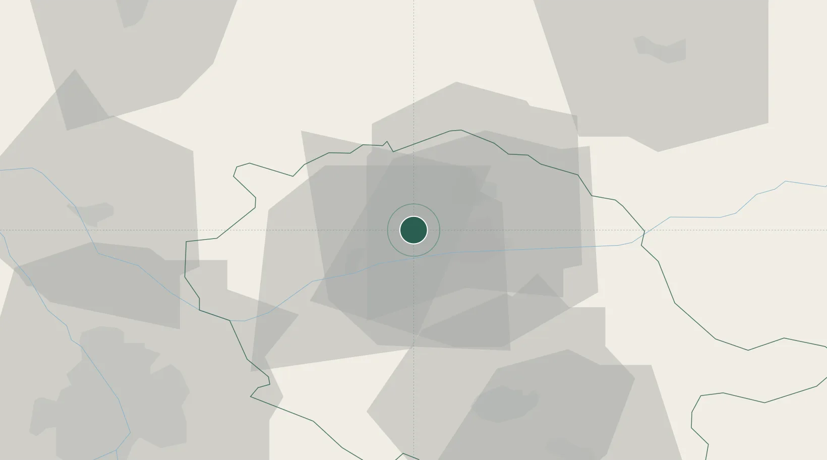
Hub Profile
Place type
Populated place
Region
Occitanie
Population
173
Time zone
Europe/Paris
Elevation
276 m
Location
Nearby Logistics Neighbours
Cities
- 1Villeneuve-sur-Vère2 km
- 2Milhavet6 km
- 3Fayssac7 km
- 4Marssac-sur-Tarn7 km
- 5Senouillac9 km
Ports
- 1Port-La-Nouvelle136 km
- 2Sete149 km
- 3Port-Vendres185 km
- 4Rosas213 km
- 5Bordeaux229 km
Airports
- 1Albi Le Sequestre airport10 km
- 2Castres Mazamet Airport52 km
- 3Rodez–Aveyron Airport59 km
- 4Cahors Lalbenque airport61 km
- 5Toulouse-Blagnac Airport67 km
Trade Zones
- 1ZFU Toulouse64 km
- 2ZFU Béziers119 km
- 3ZFU Montpellier151 km
- 4ZFU Perpignan159 km
- 5ZFU Nîmes186 km
DatabookThe Record of Consolidated Knowledge
France beyond logistics?