Transport Functions
Port
Hub Profile
Place type
Populated place
Region
Nouvelle-Aquitaine
Time zone
Europe/Paris
Elevation
7 m
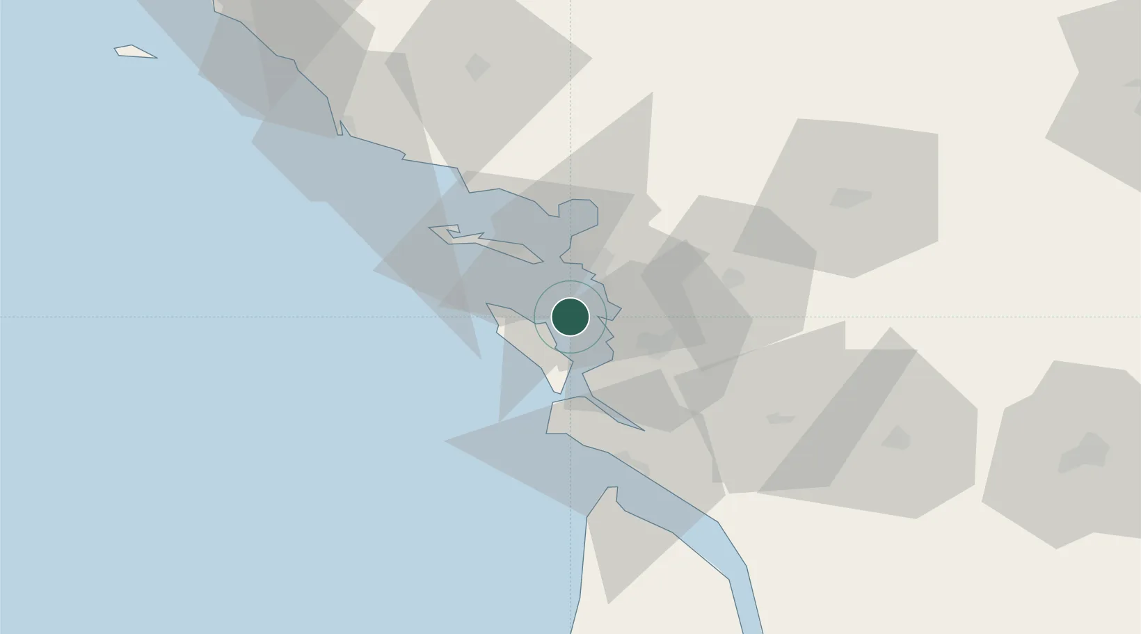
Location
Nearby Logistics Neighbours
Cities
- 1Châtelaillon-Plage10 km
- 2Saint-Laurent-de-la-Prée12 km
- 3Saint-Nazaire-sur-Charente13 km
- 4La Jarne14 km
- 5Aytré15 km
Ports
- 1La Rochelle15 km
- 2La Pallice17 km
- 3Rochefort20 km
- 4Tonnay Charente24 km
- 5Le Verdon53 km
Airports
Trade Zones
- 1ZFU La Rochelle16 km
- 2Port de Bordeaux133 km
- 3ZFU Nantes et Saint-Herblain140 km
- 4ZFU Hauts de Garonne140 km
- 5ZFU Saint-Nazaire163 km
DatabookThe Record of Consolidated Knowledge
France beyond logistics?