UN/LOCODE hub · France
FRBG6

Hiers-Brouage

45.8500°, -1.0667°
2
Transport functions

Transport Functions

Port
Road
UN/LOCODE

Hub Profile

Region
17
GeoNames

Location

Location of FRBG6
Natural Earth 10m (public domain) · 17 · FRBG6 · 45.85, -1.07GoogleOSMYandex

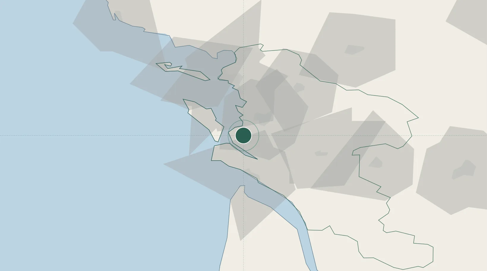
Nearby Logistics Neighbours

Cities
  1. 1Bourcefranc-le-Chapus7 km
  2. 2Saint-Trojan-les-Bains11 km
  3. 3Saint-Nazaire-sur-Charente11 km
  4. 4Chaillevette13 km
  5. 5Rochefort14 km
Nearest neighbours — logibook spatial index (haversine) over the source coordinates
Ports
  1. 1Rochefort13 km
  2. 2Tonnay Charente16 km
  3. 3Le Verdon33 km
  4. 4La Rochelle34 km
  5. 5La Pallice37 km
Nearest neighbours — logibook spatial index (haversine) over the source coordinates
Airports
  1. 1Rochefort-Saint-Agnant (BA 721) Airport8 km
  2. 2Royan-Médis Airport26 km
  3. 3La Rochelle Île de Ré Airport38 km
  4. 4Cognac-Châteaubernard (BA 709) Air Base62 km
  5. 5Niort - Marais Poitevin Airport73 km
Nearest neighbours — logibook spatial index (haversine) over the source coordinates
Trade Zones
  1. 1ZFU La Rochelle37 km
  2. 2Port de Bordeaux112 km
  3. 3ZFU Hauts de Garonne120 km
  4. 4ZFU Nantes et Saint-Herblain160 km
  5. 5ZFU Saint-Nazaire184 km
Nearest neighbours — logibook spatial index (haversine) over the source coordinates
DatabookThe Record of Consolidated Knowledge
France beyond logistics?
Browse databook

All Sources

LocationsUN/LOCODE
UN/LOCODE — free
Portsthe NGA World Port Index
Public domain (US gov)
AirportsOurAirports
Public domain
Trade Zonesthe World Bank SEZ database
CC BY 4.0
Trade ZonesOpen Zone Map
CC BY
← France locations