UN/LOCODE hub · France
FRME9

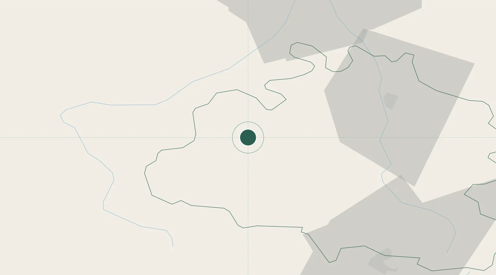
Montjoie-en-Couserans

43.0000°, 1.1667°
1,037
Population
1
Transport functions

Transport Functions

Multimodal
UN/LOCODE

Hub Profile

Place type
Populated place
GeoNames
Region
Occitanie
GeoNames
Population
1,037
GeoNames
Time zone
Europe/Paris
GeoNames
Elevation
451 m
GeoNames

Location

Location of FRME9
Natural Earth 10m (public domain) · Occitanie · FRME9 · 43.00, 1.17GoogleOSMYandex

Nearby Logistics Neighbours

Cities
  1. 1Sentaraille7 km
  2. 2Boussens26 km
  3. 3Lavelanet-de-Comminges28 km
  4. 4Bours34 km
  5. 5Foix35 km
Nearest neighbours — logibook spatial index (haversine) over the source coordinates
Ports
  1. 1Port-La-Nouvelle155 km
  2. 2Port-Vendres168 km
  3. 3Rosas184 km
  4. 4Barcelona201 km
  5. 5Villanueva Y Geltru202 km
Nearest neighbours — logibook spatial index (haversine) over the source coordinates
Airports
  1. 1Aérodrome de Saint-Girons - Antichan5 km
  2. 2Toulouse-Francazal (BA 101) Air Base63 km
  3. 3Toulouse-Blagnac Airport72 km
  4. 4Pirineus - la Seu d'Urgel Airport76 km
  5. 5Auch Gers Airfield89 km
Nearest neighbours — logibook spatial index (haversine) over the source coordinates
Trade Zones
  1. 1ZFU Toulouse71 km
  2. 2ZFU Perpignan145 km
  3. 3ZFU Béziers170 km
  4. 4Zona Franca de Barcelona201 km
  5. 5Depósito Franco de Tarragona210 km
Nearest neighbours — logibook spatial index (haversine) over the source coordinates
DatabookThe Record of Consolidated Knowledge
France beyond logistics?
Browse databook

All Sources

LocationsUN/LOCODE
UN/LOCODE — free
LocationsGeoNames
CC BY 4.0
Portsthe NGA World Port Index
Public domain (US gov)
AirportsOurAirports
Public domain
Trade Zonesthe World Bank SEZ database
CC BY 4.0
Trade ZonesOpen Zone Map
CC BY
← France locations