Medium airport · Spain
Pirineus - la Seu d'Urgel AirportLESU
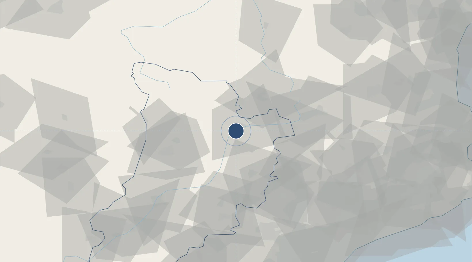
42.3386°, 1.4092°
4,157 ft
Longest runway
1
Runways
2,625 ft
Elevation
Runway & Layout

Radio Frequencies
AFIS
122.205 MHz
H24. Outside ATS op hrs, this frq for A/A communications.
AFIS
131.605 MHz
ATS hours. Outside ATS op hrs, frq for G/A communications.
EMERG
121.5 MHz
Emergency
Navaids
SEO NDB Seo De Urgel 340 kHz
Runways · 1
| Runway | Dimensions | Surface | True heading | Lit |
|---|---|---|---|---|
| 03/21 | 4,157 × 92ft | Asphalt | 031° | ✓ |
Airport Specifications
IATA code
LEU
ICAO code
LESU
Airport class
Medium airport
Scheduled service
Yes
Runway surface
Asphalt
Served city
La Seu d'Urgell Pyrenees and Andorra
Location
Nearby Logistics Neighbours
Airports
Cities
- 1La Seu d'Urgell5 km
- 2Andorra la Vella20 km
- 3Olp26 km
- 4La Pobla de Segur38 km
- 5Olius38 km
Ports
- 1Villanueva Y Geltru126 km
- 2Barcelona127 km
- 3Tarragona139 km
- 4Port-Vendres142 km
- 5Rosas146 km
Trade Zones
- 1Zona Franca de Barcelona126 km
- 2ZFU Perpignan128 km
- 3Depósito Franco de Tarragona137 km
- 4ZFU Toulouse141 km
- 5ZFU Béziers184 km
DatabookThe Record of Consolidated Knowledge
Spain beyond logistics?