Seaport · Spain
BarcelonaESBCN
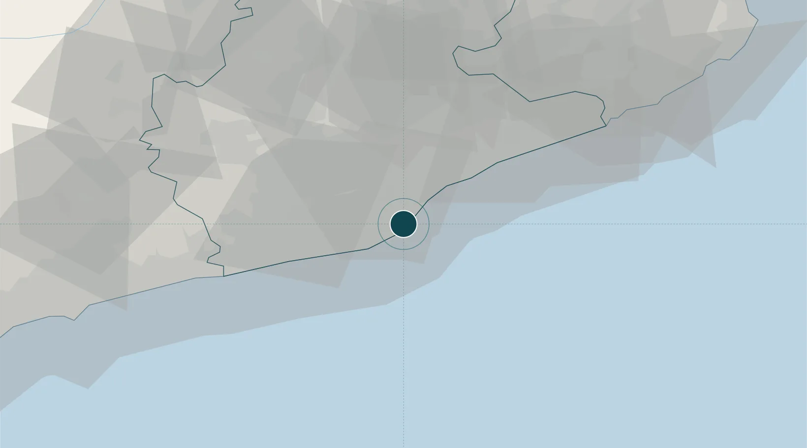
41.3500°, 2.1667°
9.4 m
Channel depth
3
Container terminals
471.6
Port liner connectivity
Channel & Berth Profile
Pilotage, Tugs & Services
Pilotage compulsoryYES
Pilotage availableYES
Tug assistanceYES
Shore powerYES
Potable waterYES
Diesel bunkersYES
MedicalYES
Garbage disposalYES
Facilities & Capabilities
Container—
Ro-Ro—
Liquid bulk—
Dry bulk—
Oil terminal—
Break bulk—
Dry dockNO
RepairsNO
BunkeringYES
Rail linkYES
Dangerous cargo—
ISPS security—
Harbour Specifications
Harbour size
Large
Harbour type
Coastal (Breakwater)
Shelter
Good
Water body
Mediterranean Sea; North Atlantic Ocean
Tidal range
1 m
Pilotage
Yes
Liner Connectivity
471.6
PLSCI
Port Liner Shipping Connectivity Index for Barcelona, as published by UNCTAD for the latest available quarter. Higher values indicate stronger scheduled liner-shipping integration.
Shown relative to the highest per-port PLSCI in the dataset (1,657.9).
Location
Container Terminals · 3
BARCELONA EUROPE SOUTH TERMINAL (BEST)
BEST HUTCHISON PORTS BEST
TERMINAL PORT NOU
PNOU3 TERMINAL PORT NOU, S.A.
CONTAINER TERMINAL BARCELONA (TCB)
TCB APM TERMINALS BARCELONA
Nearby Logistics Neighbours
Ports
- 1Villanueva Y Geltru39 km
- 2Tarragona83 km
- 3San Feliu De Guixols87 km
- 4Palamos96 km
- 5Rosas132 km
Cities
- 1Hospitalet3 km
- 2El Prat de Llobregat5 km
- 3Cornellá de Llobregat7 km
- 4Sant Joan Despí9 km
- 5Sant Feliu de Llobregat10 km
Airports
Trade Zones
- 1Zona Franca de Barcelona4 km
- 2Depósito Franco de Tarragona81 km
- 3ZFU Perpignan162 km
- 4ZFU Béziers237 km
- 5Depósito Franco de Zaragoza247 km
DatabookThe Record of Consolidated Knowledge
Spain beyond logistics?