Transport Functions
Rail
Road
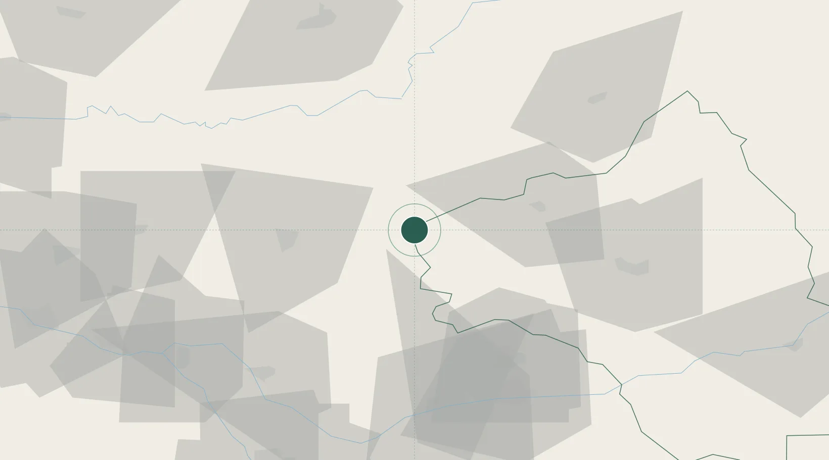
Hub Profile
Place type
Populated place
Region
Occitanie
Population
1,219
Time zone
Europe/Paris
Elevation
158 m
Location
Nearby Logistics Neighbours
Cities
- 1Tour-de-Faure12 km
- 2Béduer15 km
- 3Savignac16 km
- 4Saint-Rémy17 km
- 5Capdenac-Gare19 km
Ports
- 1Port-La-Nouvelle190 km
- 2Sete191 km
- 3Bordeaux196 km
- 4Ambes197 km
- 5Blaye211 km
Airports
- 1Cahors Lalbenque airport33 km
- 2Rodez–Aveyron Airport51 km
- 3Aurillac airport64 km
- 4Albi Le Sequestre airport67 km
- 5Brive Souillac airport68 km
Trade Zones
- 1ZFU Toulouse103 km
- 2ZFU Béziers168 km
- 3ZFU Clermont-Ferrand174 km
- 4ZFU Montpellier187 km
- 5Port de Bordeaux195 km
DatabookThe Record of Consolidated Knowledge
France beyond logistics?