Transport Functions
Rail
Road
Hub Profile
Place type
Populated place
Region
Occitanie
Population
1,075
Time zone
Europe/Paris
Elevation
177 m
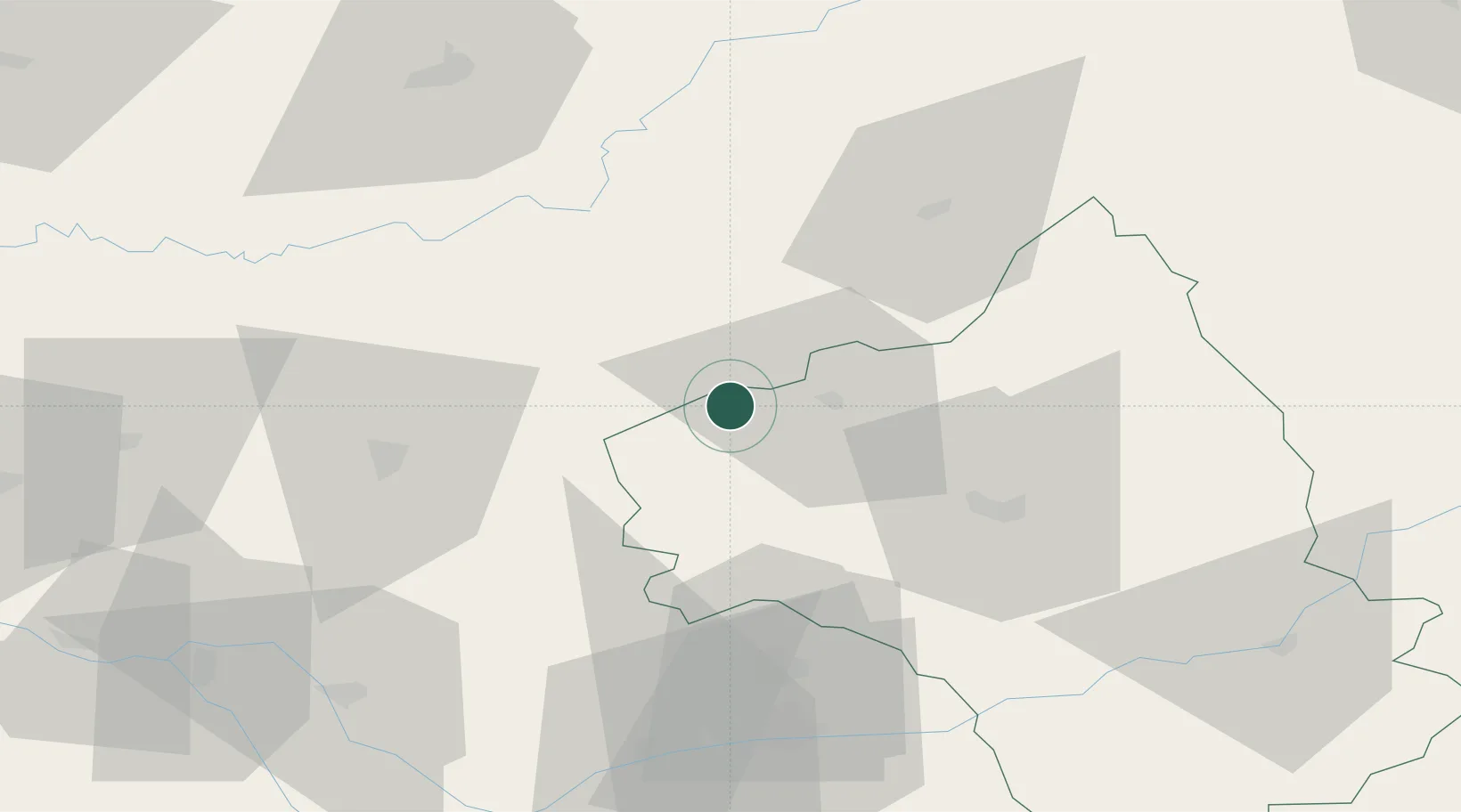
Location
Nearby Logistics Neighbours
Cities
- 1Béduer9 km
- 2Bagnac-sur-Célé15 km
- 3Saint-Rémy17 km
- 4Cransac18 km
- 5Cajarc19 km
Ports
- 1Sete183 km
- 2Port-La-Nouvelle188 km
- 3Bordeaux211 km
- 4Ambes212 km
- 5Blaye225 km
Airports
- 1Rodez–Aveyron Airport37 km
- 2Aurillac airport47 km
- 3Cahors Lalbenque airport52 km
- 4Albi Le Sequestre airport71 km
- 5Brive Souillac airport71 km
Trade Zones
- 1ZFU Toulouse116 km
- 2ZFU Clermont-Ferrand159 km
- 3ZFU Béziers163 km
- 4ZFU Montpellier177 km
- 5ZFU Nîmes199 km
DatabookThe Record of Consolidated Knowledge
France beyond logistics?