Transport Functions
Road
Multimodal
Hub Profile
Place type
Populated place
Region
Nouvelle-Aquitaine
Population
956
Time zone
Europe/Paris
Elevation
37 m
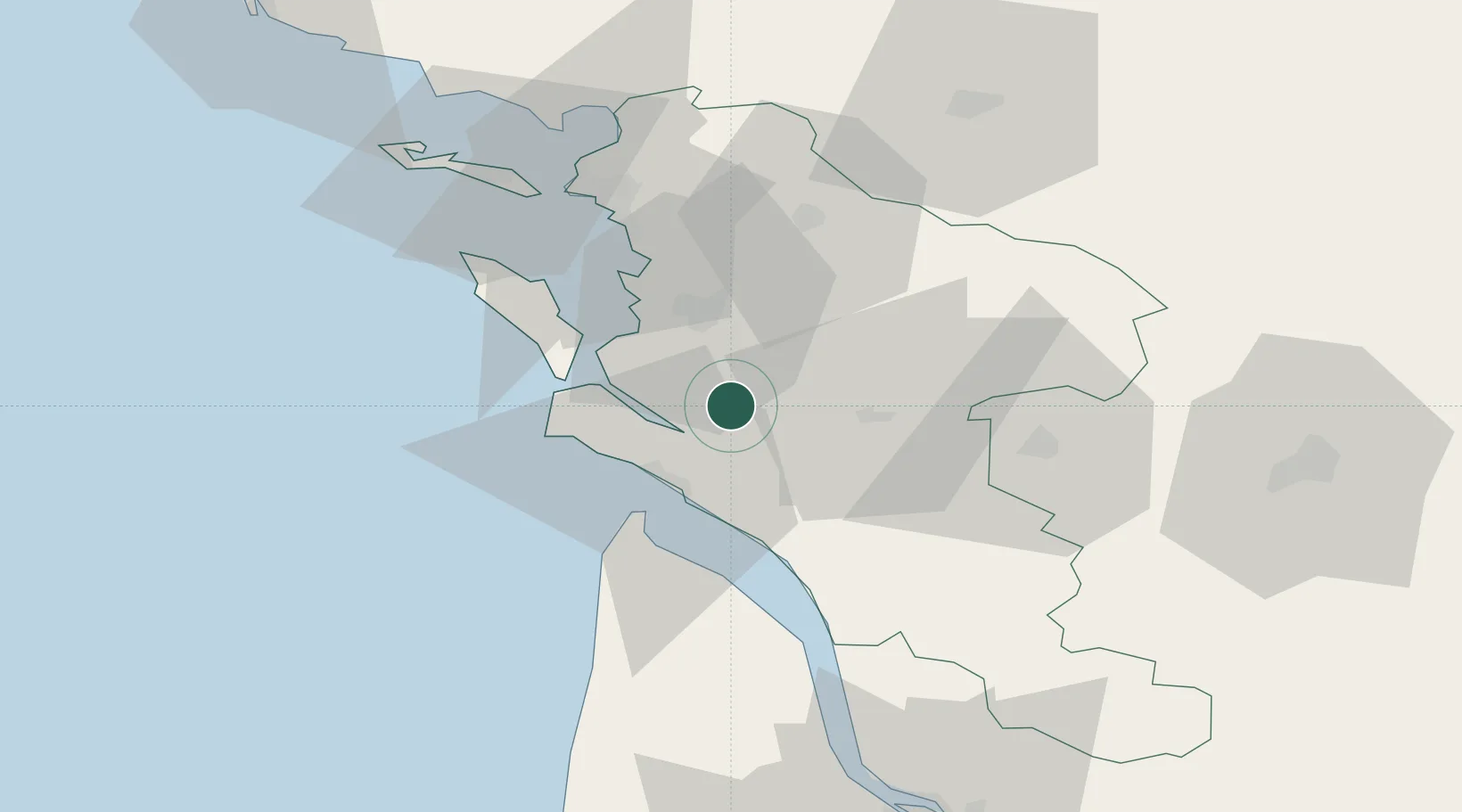
Location
Nearby Logistics Neighbours
Cities
- 1Sablonceaux6 km
- 2Pont-l'Abbé-d'Arnoult8 km
- 3Soulignonne9 km
- 4L'Éguille10 km
- 5Mornac-sur-Seudre12 km
Ports
- 1Tonnay Charente19 km
- 2Rochefort19 km
- 3Le Verdon27 km
- 4La Rochelle47 km
- 5La Pallice51 km
Airports
Trade Zones
- 1ZFU La Rochelle50 km
- 2Port de Bordeaux99 km
- 3ZFU Hauts de Garonne107 km
- 4ZFU Nantes et Saint-Herblain173 km
- 5ZFU Angers192 km
DatabookThe Record of Consolidated Knowledge
France beyond logistics?