UN/LOCODE hub · France
FRZIW

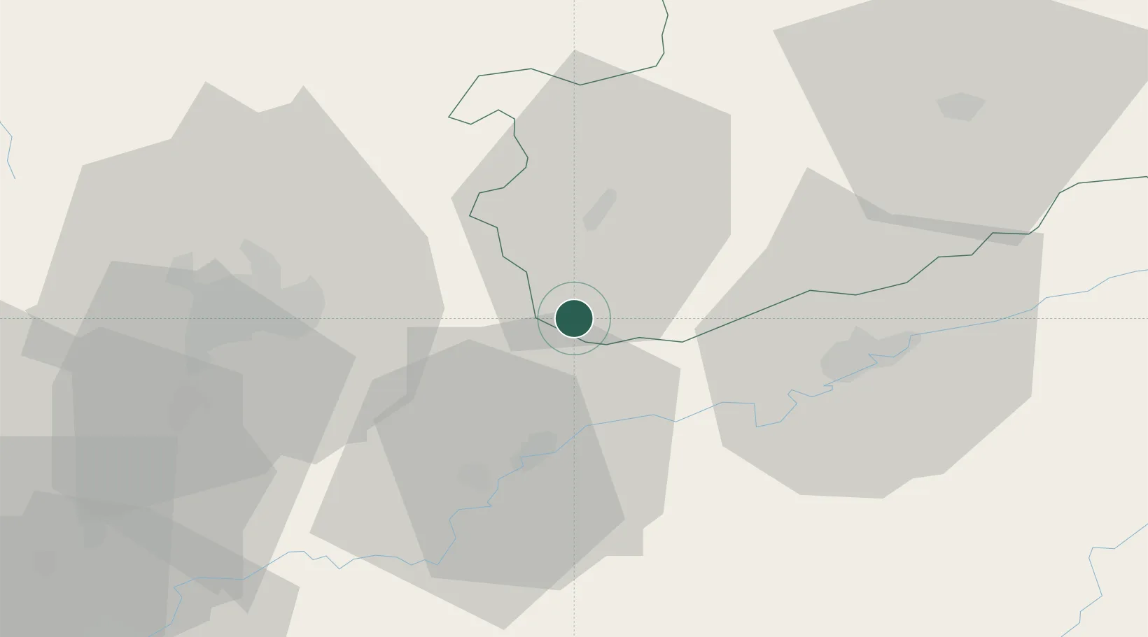
Sauvigney-lès-Pesmes

47.3000°, 5.5667°
158
Population
1
Transport functions

Transport Functions

Multimodal
UN/LOCODE

Hub Profile

Place type
Populated place
GeoNames
Region
Bourgogne
GeoNames
Population
158
GeoNames
Time zone
Europe/Paris
GeoNames
Elevation
203 m
GeoNames

Location

Location of FRZIW
Natural Earth 10m (public domain) · Bourgogne · FRZIW · 47.30, 5.57GoogleOSMYandex

Nearby Logistics Neighbours

Cities
  1. 1Flammerans12 km
  2. 2Vonges13 km
  3. 3Arc-lès-Gray17 km
  4. 4Auxonne18 km
  5. 5Orchamps18 km
Nearest neighbours — logibook spatial index (haversine) over the source coordinates
Ports
  1. 1Savona402 km
  2. 2Rada Di Vado405 km
  3. 3Bruxelles406 km
  4. 4Port Of Rouen409 km
  5. 5Genova414 km
Nearest neighbours — logibook spatial index (haversine) over the source coordinates
Airports
  1. 1Dole Tavaux Airport31 km
  2. 2Dijon Longvic airport36 km
  3. 3Vesoul-Frotey Airfield61 km
  4. 4Luxeuil-Saint-Sauveur (BA 116) Air Base80 km
  5. 5Montbéliard-Courcelles Airfield94 km
Nearest neighbours — logibook spatial index (haversine) over the source coordinates
Trade Zones
  1. 1ZFU Besancon34 km
  2. 2ZFU Chenôve44 km
  3. 3ZFU Montbéliard95 km
  4. 4PESA - Port-Franc et Entrepôts de Lausanne-Chavornay SA100 km
  5. 5ZFU Belfort101 km
Nearest neighbours — logibook spatial index (haversine) over the source coordinates
DatabookThe Record of Consolidated Knowledge
France beyond logistics?
Browse databook

All Sources

LocationsUN/LOCODE
UN/LOCODE — free
LocationsGeoNames
CC BY 4.0
Portsthe NGA World Port Index
Public domain (US gov)
AirportsOurAirports
Public domain
Trade Zonesthe World Bank SEZ database
CC BY 4.0
Trade ZonesOpen Zone Map
CC BY
← France locations