Transport Functions
Multimodal
Hub Profile
Place type
Populated place
Region
Occitanie
Time zone
Europe/Paris
Elevation
137 m
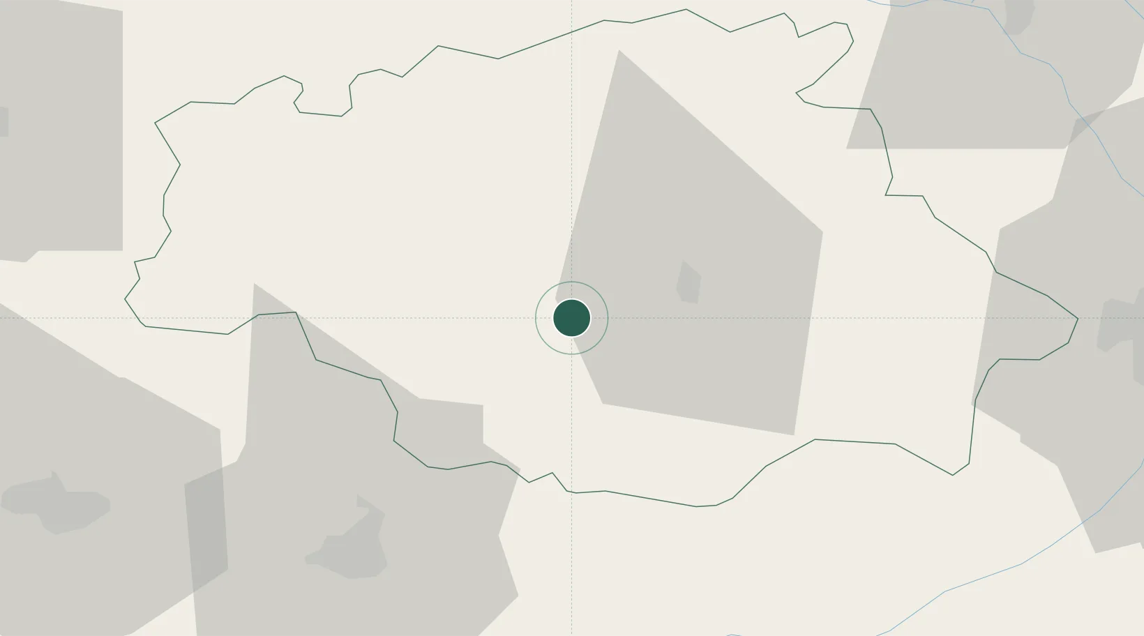
Location
Nearby Logistics Neighbours
Cities
- 1Bassoues14 km
- 2Auch15 km
- 3Ornézan17 km
- 4Roquelaure18 km
- 5Marciac22 km
Ports
- 1Bayonne152 km
- 2Bordeaux161 km
- 3Ambes175 km
- 4Blaye191 km
- 5Puerto De Pasajes192 km
Airports
- 1Auch Gers Airfield17 km
- 2Tarbes-Lourdes-Pyrénées Airport58 km
- 3Agen La Garenne airport65 km
- 4Pau Pyrénées Airport72 km
- 5Toulouse-Blagnac Airport76 km
Trade Zones
- 1ZFU Toulouse83 km
- 2ZFU Hauts de Garonne158 km
- 3Port de Bordeaux164 km
- 4Depósito Franco de Pasajes (Guipúzcoa)191 km
- 5ZFU Perpignan224 km
DatabookThe Record of Consolidated Knowledge
France beyond logistics?