Transport Functions
Multimodal
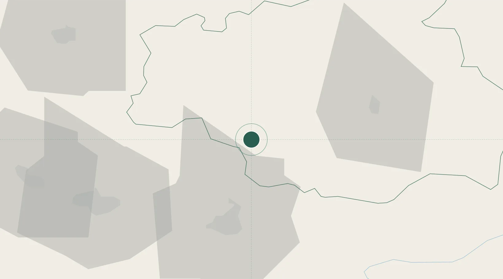
Hub Profile
Place type
Populated place
Region
Occitanie
Population
1,258
Time zone
Europe/Paris
Elevation
161 m
Location
Nearby Logistics Neighbours
Cities
- 1Bassoues9 km
- 2Rabastens-de-Bigorre17 km
- 3Moncaup18 km
- 4Saint-Lanne20 km
- 5Castex21 km
Ports
- 1Bayonne132 km
- 2Bordeaux159 km
- 3Puerto De Pasajes171 km
- 4Ambes174 km
- 5Blaye190 km
Airports
Trade Zones
- 1ZFU Toulouse103 km
- 2ZFU Hauts de Garonne156 km
- 3Port de Bordeaux163 km
- 4Depósito Franco de Pasajes (Guipúzcoa)170 km
- 5Depósito Franco de Zaragoza224 km
DatabookThe Record of Consolidated Knowledge
France beyond logistics?