Transport Functions
Rail
Road
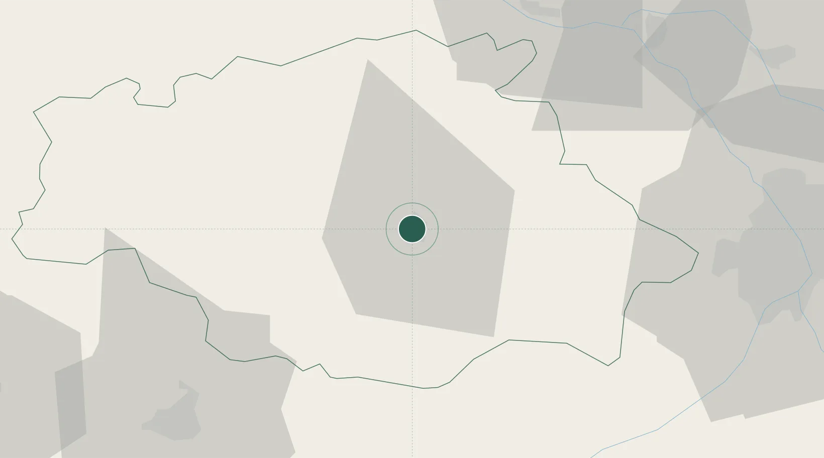
Hub Profile
Place type
Provincial seat
Region
Occitanie
Population
24,494
Time zone
Europe/Paris
Elevation
134 m
Location
Nearby Logistics Neighbours
Cities
- 1Roquelaure8 km
- 2Mirepoix11 km
- 3L'Isle-de-Noé15 km
- 4Ornézan15 km
- 5Réjaumont19 km
Airports
Trade Zones
- 1ZFU Toulouse69 km
- 2ZFU Hauts de Garonne160 km
- 3Port de Bordeaux166 km
- 4Depósito Franco de Pasajes (Guipúzcoa)205 km
- 5ZFU Perpignan215 km
DatabookThe Record of Consolidated Knowledge
France beyond logistics?