Medium airport · France

Pau Pyrénées AirportLFBP
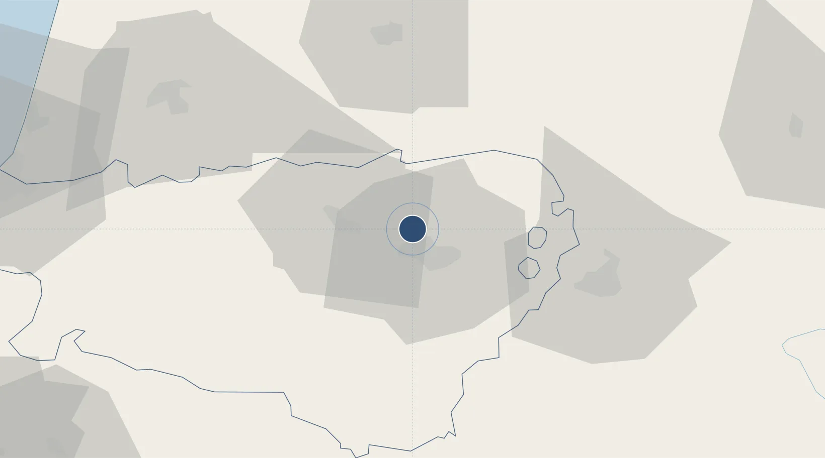
43.3800°, -0.4186°
8,202 ft
Longest runway
1
Runways
616 ft
Elevation

Runway & Layout

Pau Pyrénées Airport runway & taxiway layout
Runway & taxiway layout — OpenStreetMap (ODbL) / OurAirports

Radio Frequencies

ATIS
128.475 MHz
TWR
124.15 MHz
GND
121.75 MHz
APP
121.175 MHz
PYRENEES APP
OurAirports

Runways · 1

RunwayDimensions SurfaceTrue headingLit
13/31 8,202 × 148ft Asphalt 125°
OurAirports

Airport Specifications

IATA code
PUF
OurAirports
ICAO code
LFBP
OurAirports
Airport class
Medium airport
OurAirports
Scheduled service
Yes
OurAirports
Runway surface
Asphalt
OurAirports
Served city
Pau/Pyrénées (Uzein)
OurAirports

Location

Location of LFBP
Natural Earth 10m (public domain) · Pyrénées-Atlantiques · LFBP · 43.38, -0.42GoogleOSMYandex

Nearby Logistics Neighbours

Airports
  1. 1Tarbes-Lourdes-Pyrénées Airport40 km
  2. 2Mont-de-Marsan (BA 118) Air Base60 km
  3. 3Auch Gers Airfield89 km
  4. 4Biarritz Pays Basque airport90 km
  5. 5San Sebastián Airport111 km
Nearest neighbours — logibook spatial index (haversine) over the source coordinates
Cities
  1. 1Uzein3 km
  2. 2Lescar5 km
  3. 3Jurançon9 km
  4. 4Pau10 km
  5. 5Bizanos12 km
Nearest neighbours — logibook spatial index (haversine) over the source coordinates
Ports
  1. 1Bayonne86 km
  2. 2Puerto De Pasajes123 km
  3. 3Bordeaux166 km
  4. 4Ambes182 km
  5. 5Bermeo186 km
Nearest neighbours — logibook spatial index (haversine) over the source coordinates
Trade Zones
  1. 1Depósito Franco de Pasajes (Guipúzcoa)122 km
  2. 2ZFU Toulouse152 km
  3. 3ZFU Hauts de Garonne162 km
  4. 4Port de Bordeaux170 km
  5. 5Depósito Franco de Zaragoza195 km
Nearest neighbours — logibook spatial index (haversine) over the source coordinates
DatabookThe Record of Consolidated Knowledge
France beyond logistics?
Browse databook

All Sources

AirportsOurAirports
Public domain
Portsthe NGA World Port Index
Public domain (US gov)
LocationsUN/LOCODE
UN/LOCODE — free
Trade Zonesthe World Bank SEZ database
CC BY 4.0
Trade ZonesOpen Zone Map
CC BY
InfrastructureOpenStreetMap
ODbL 1.0
← France airports